
The basic meteorology for yachtsmen and yachtswomen
Setting sail on a yacht without checking the weather forecast might be a rather dicey enterprise. For those of you who are just starting your way in the world of yachting here is a сrash course in the form of answers to the most common questions about the nature of wind and the diffrent ways one can forecast a brewing storm by the look of the clouds, for example. Sounds great and useful to you?! Enjoy this longread from the sailing and weather experts of the Windy.app.
Question 1. The essence of wind
Before we start the conversation about the wind, we need to get familiar with the concept of the air mass. This is the name for a large volume of air, several kilometers thick, which have approximately the same temperature and humidity. Horizontally the mass spreads for a few thousand kilometers.
According to the laws of physics, the changes in gas pressure and temperature are closely interconnected. In areas with hotter air, the pressure is lower, and vice versa. The air masses always tend to move from higher pressure areas into lower pressure ones. This movement of air relative to the earth’s surface is called the wind.
Question 2. Wind velocity and direction measurement
The wind meters are installed at the height of 10-12 meters above the earth's surface. To convert the wind velocity from meters per second into knots (nautical miles per hour), you need to multiply the value by two.
The wind velocity is sometimes assessed in points as per the Beaufort wind scale: zero points correspond to a calm sea, while twelve points correspond to a hurricane. The wind velocity in this system is connected with the effects from its impact, which can be noticed by a naked eye: rolling sea, swaying tree branches and spreading chimney pipes smoke.
When indicating the wind direction, you also specify the cardinal direction it is blowing from. Less frequently, the direction is indicated with/by an angle:
- 0° — North
- 90° — East
- 180° — South
- 270° — West
- 360° — North
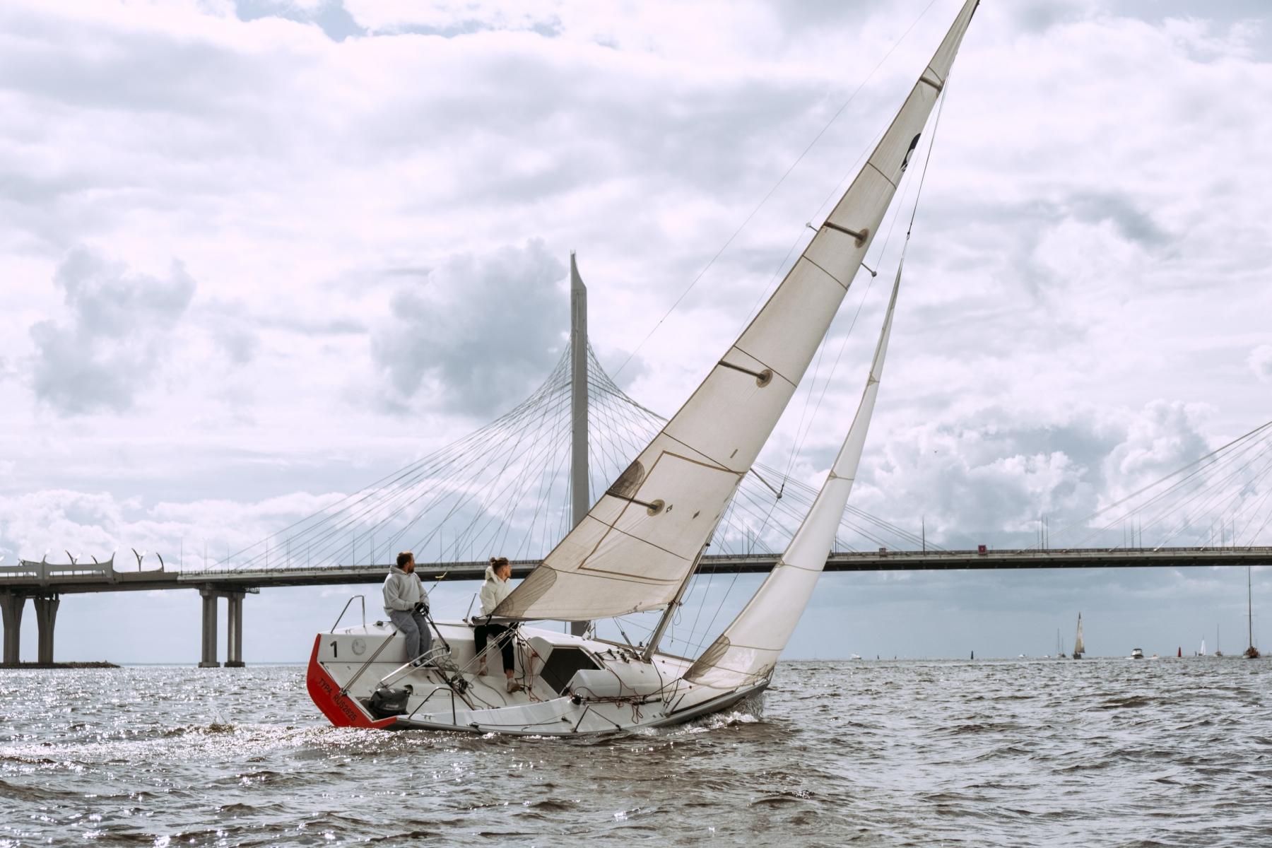
Sailing in Gulf of Finland, Saint Petersburg, Russia. Photo: Cottonbro / Pexels
Question 3. Reading wind direction on the isobar map
On a weather map, the points with the same registered atmospheric pressure are connected with pressure lines called isobars. This map called Isobar Map. The air tends to relocate in a low pressure area via the shortest way, namely at a straight angle to the isobar. This perpendicular line is called a normal line.
Pressure bumps are the only thing that accelerates the air. The faster the pressure changes from location to location, the higher the wind speed is. All the other forces, such as friction, only decrease the speed of the wind and/or change its direction. You can monitor the wind in real time on live wind map.
The wind would be perpendicular to the isobar, should the Earth not be round and rotating about its axis. However, that is not the case, and all the moving objects, including the wind, are exposed to the Coriolis force. This is one of the most obvious forces impacting the direction of air masses movement. It gives a certain inclination to the wind from the normal line. In the Northern hemisphere the wind churns in the clockwise direction (to the right), while in the Southern one it spins counterclockwise (to the left) with regard to the trajectory.
As the friction of air against the sea surface is lower than that against the land, this deviation is more pronounced there. While above the land it is normally 40–50°, it can reach 70–80° above the sea in which case the wind is blowing virtually along the isobar.
Question 4. Cyclones and anticyclones
The key elements in the Earth’s air currents system are the waves and whirlwinds spanning several thousand kilometers that constantly recur and disintegrate in the atmosphere. Those whirlwinds whose area has the lowest atmospheric pressure in the center are called cyclones. Conversely, if the highest pressure area is located in the whirlwind’s center, it is called an anticyclone.
Let us not forget that the air tends to relocate from a high pressure area into an area of low pressure. That is why cyclones represents whirlpools where the air is sucked into the center, while in anticyclones it is blown out of the center.
The area of low pressure is located in the cyclone center and in the periphery of an anticyclone.
The emergence of threadlike cirrus clouds on the horizon moving in parallel straps signals an approaching cyclone. Gradually the sky is being overcast with dense clouds.
In an anticyclone the weather is normally mostly cloudless and dry.
Photo: Pixabay / Pexels
Question 5. Using weather fronts for yachting
The area where two air masses of different temperatures clash is called a front. Because the cold and the warm air masses are located at different altitudes in the atmosphere, fronts move at an angle to the earth surface instead of perpendicular to it. During a clash, one of the air masses come slip over or under another one.
If you detect a front, expect changes in weather and precipitation. Depending on which air warm or cold - comes forward, a front is called a warm one or a cold one respectively.
Warm Fronts
A warm air mass flowing under a cold one, gradually cools off. However, the cooling goes slow, so instead of short intense showers we wind up having incessant frizzling rains and snow flurry.
Cold Fronts
Moving above a warm surface, a cold air mass heats up, too, and faster than a cold front would take to cool off. The moist and warm displaced air, in turn, cools off fast, which makes the water contained in it condense into large cumulo-nimbus clouds bringing torrents and storms with them. The young cyclones between a warm and a cold fronts near the earth surface contain warm air.
This area is called “a warm sector”. The warm and steady air mass in it normally brings fogs and drizzle with it which reduce visibility. Yet, in the summer the warm sector above the land contains downpours and thunderstorms. As the cyclone evolves, this area gradually narrows until it disappears completely near the earth surface.
Occluded Fronts
When two cyclones, a fast moving cold and a slower warm ones, clash and merge, the occluded (closed) front emerges. Thus, three air masses of different temperatures interact in this front’s area — two colder ones, joined below, and a really warm one, displaced upwards. This predictably causes precipitation of various intensity and thunderstorms.
Question 6. Local winds
The weather forecast usually do not take local wind into accound because us it is very hard to calculate it on such a small territory if just a few kilometer or mile — even for the supercomputers. So it is important to know how do they exactly appear and what features they carry with them.
The most common examples of local winds are breeze and bora. The first wind is gentele and warm, the second one is strong, gusty and cold:
Breeze
In the daytime, the sun heats the land more than the water, while at night the land cools off faster than water. Therefore, warmer air is located over the land during the day and over the sea at night.
In the daytime hot air above the land moves upwards, yet its place gets filled with cooler air from the sea due to the declining pressure in this area. By night, when the air above the land cools off, the wind direction changes for the opposite.
Normally, wind velocity during a breeze is 3–5 meters per second. In tropical areas it may be faster due to a huge gap between the land and the sea.
Bora
When cold air penetrates beyond the low mountain range reaching the warm sea at the bottom is accelerates to considerable storm-wind velocities and causes strong surges. Bora normally rages for 1–3 days but sometimes lasts through an entire a week.
Types of bora and their geographical ranges:
- The north-west mistral wind blows from Europe’s northern regions in the Rhone valley along the French coast of the Gulf of Lions from Montpellier to Toulon in February-March.
- The north and northeast bora-like wind is called Tramontana in Spain, France and even Italy.
- The Norther wind blows from Canada towards the USA, Mexico, the Gulf of Mexico and all the way to the north part of South America in November-April.
- The Adriatic bora is also called “bura” in Croatia and Montenegro. In winter it can cover almost the entire Adriatic Sea.
- A strong bora is often the case in the Black Sea area near Novorossiysk.
- The northern Khazri wind blows in the Caspian Sea near the city of Baku, Azerbaijan.

Photo: Terje-sollie / Pexels
Question 7. Forecasting weather by clouds
The cloud shapes are so diverse that they fill up entire atlases of photographs with descriptions. However, there are only ten main cloud shapes and only three of them, when encountered, may give you reason for worry signalling imminent rain:
Nimbo-stratus clouds
This is the name for a thick cover of dark grey clouds which does not even let the Sun and the Moon to shine through. Underneath these, shapeless concentrations of low ragged clouds would gather, looking particularly sinister against the background of nimbo-stratus clouds that are also called “the bad weather clouds”. The name speaks for itself. It is these clouds that bring medium-intensity showers or snowfalls which last about 10 hours and fall across a large area.
Stratus clouds
These clouds are a homogenous but thinner gray layer of drops which resembles a fog hovering high above the earth and lets the Sun and Moon to show through it. Sometimes these clouds have a look of ragged shreds (stratus fractus clouds). They can produce drizzling rain, ice crystals, snow flurries and snow grains.
Cumulo-nimbus (thunder) clouds
These are bulky cloud masses expanded vertically in the shape of mountains and towers. Their pinnacles are flattened and frequently have the shape of anvils. They are harbingers of showers and thunderstorms. The good news here is that unlike continuous precipitation, showers are short-lived, however intense, rains. It is these clouds that give the setting for rainbows.
Cumulo-nimbus clouds are in close connection with such a phenomenon as a squall. This name has been given to a rapid short-term increase of wind of up to 20 m/sec and more, accompanied by a change in wind direction. Such an increase lasts for several minutes and sometimes recures during a short time.
A squall cloud has a very distinct look – it is black, with ragged edges resembling claws and descending as a white blanket of rain deep inside a cloud. The cloud hovers low over the ground with its lower edge changes its shape every second.
Unless the crew gets ready for a squall on time, it can capsize the yacht. If the wind starts calming down and dies down when a thunder cloud approaches, you should act fast. Soon it will be blowing again, yet in the opposite direction. As a rule, the squall reaches the boat when the cloud is directly above it. By that time the sails should be taken down.
Question 8. The difference between sea tornado and land tornado
Apart from that, cumulo-nimbus clouds are connected with tornadoes. Those often emerge in a series of several whirlwinds in the front part of the thunder cloud and penetrate to the very earth surface from high above. A tornado’s diameter is about a dozen meters. On the outside, it resembles a dark pillar between the clouds and the water or an elephant trunk hanging out of the cloud.
A whirlwind moves together with the cloud at the speed of about 30–40 km/hour. It exists for mere minutes but is capable of advancing over the sea for several kilometers over this time. Sea tornadoes are less destructive than land ones, but they should be avoided nonetheless.

Photo: Unsplash
Question 9. Taking trade winds into account
At both poles near the equator there are zones of constant winds — trade-winds. Their average velocity at the earth surface is 5-8 m/sec. Strato-cumulus clouds build up over the trade-wind area, so precipitation is not common here.
The band above the equator itself located between the trade-wind zones is called the Inter-Tropical Convergence Zone. The meridian width of this low atmospheric pressure area is 1–3°.
Its position relative to the equator changes slightly depending on the season. It shifts to the hemisphere where summer arrives.
The weather in this band is unstable - drought spells with mild winds and even no wind are replaced with showers and squalls that last for 2–3 days.
Question 10. Tropical cyclones: hurricanes and typhoons
Meteorologists pay close attention to observing the powerful cyclones which form in the tropical zone between 5 and 20 degrees of latitude in both hemispheres. It looks like a giant thunder cloud that sucks in spiral cloud banks.
In such a cyclone, the wind rises to 17 m/sec and more. In one case out of ten, a tropical cyclone develops into a storm with the wind reaching 33 m/sec or even a hurricane - with blasts over 33 m/sec. The average wind velocity near the earth surface is 40-50 m/sec with individual gusts reaching 100 m/sec.
Overall, about 80 tropical cyclones with storm and hurricane winds emerge on the Earth annually. Their main cause is a powerful surge of heated and damp air across a vast ocean area. They never build up above the land.
Passing by, a tropical cyclone causes a major surge of the sea. The flat shores are flooded with waves reaching 10–15 m high.
The majority of tropical cyclones shift along a similar trajectory. It resembles a parabola whose vertex is directed to the West.
Relocating to middle latitudes, a tropical cyclone expands in terms of area, yet this becomes the beginning of its end. The pressure changes between the central area and the periphery become more gradual, while the wind velocity in the cyclone goes down.

Photo: Unsplash
Where else yachsmasters can study meteorology
First of all, you can learn meteorology from the Windy.app Meteo Texbook (WMT). It is written in real-time in the form of newsletters to which you can subscribe to receive new lessons once a week. A list of old lessons is available in a Textbook section on this website. Start from the WMT Contents page.
Here are some more useful sources in different formats:
Thematic literature
- Frank Singleton Reeds Weather Handbook
- Steve and Linda Dashew Mariner's Weather Handbook
- Commander C.R. Burgess Meteorology for seafarers
- Larry Lawrence Marine meteorology
Video lessons on Youtube
- Weather check-list from Bureau of Meteorology
- 90-minute lecture Weather for Sailors by Maryland School of Sailing
- Meteorology course from Yale University
Online programs
- Strategies for winning. Meteorology in a round the world regatta
- Wind resources for renewable energies
- Come Rain or Shine: Understanding the Weather
- The six-month weather course at UK’s The Open University Science
This post was originally published in the Windy.app Blog on October 16, 2019. Share experience — publish your own post in the Windy.app blog.
Text: Windy.app team
Cover photo: Cottonbro / Pexels
You will also find useful
The guide to yachting schools and licenses
The complete guide to rating systems in sail racing
Find out if your yacht license is valid different part of the world
Three common mistakes in weather forecasts for yachting and what to do about it