Wissant, Créquy Wind forecastVerified


Live wind map
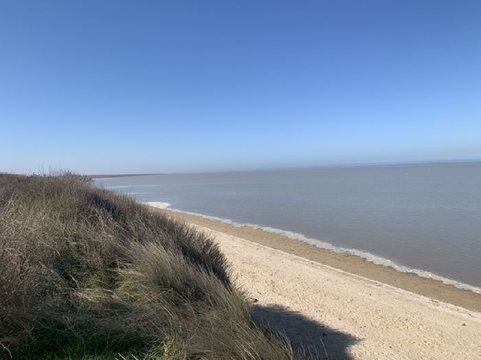
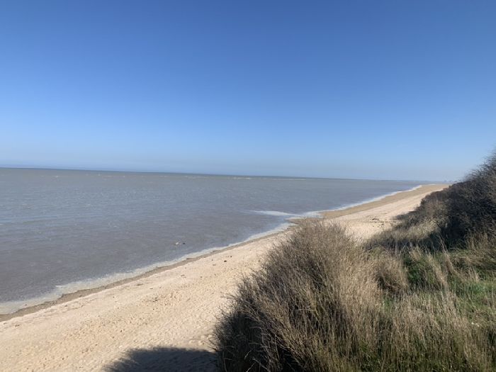
Wissant Créquy Wind forecast
- Wind direction is South, wind speed varies between 4.5 and 11.2 mph with gusts up to 20.1 mph. The sky is clear with a chance of rain 0%.
- Wind and wave weather forecast for Wissant , France contains detailed information about local wind speed, direction, and gusts. Wave forecast includes wave height and period.
- These forecasts for Wissant are based on the GFS model and were created for windsurfing, kitesurfing, sailing and other extreme sports activities. All data updates 4 times a day. Predictions are available in steps from 1 to 3 hours for up to 10 days.
- Use professional weather parameters: wind barbs, weather fronts, isobars, and others. Study weather history for the past 14 years (2012-2026). Create sailing, hiking and biking routes with weather in each point.
- Download Windy.app in the App Store and Google Play Store.


1 / 9
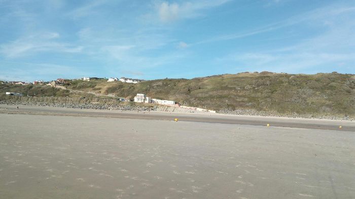
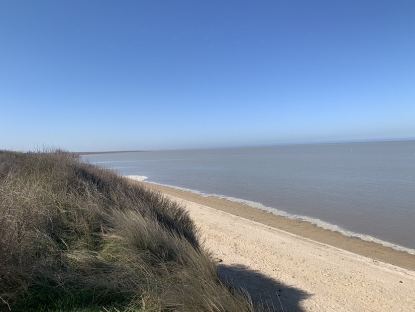
Popular spot activity — Surfing
-

June — August
Best season
-

SE, S
Working wind directions
-

Sand
Seabed
-

Beach break
Type of break
-

Middle to high
Best tide
-

1-2
Wave height
-

NW
Working swell
-

Not crowded
Traffic
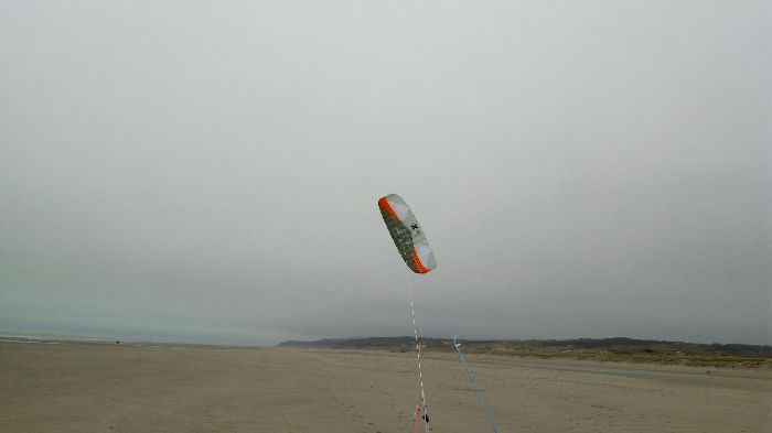
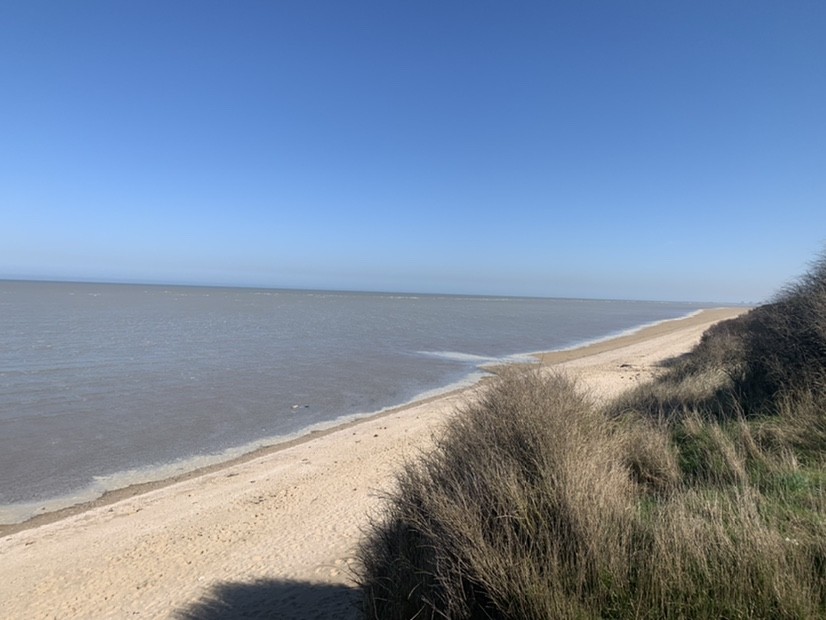
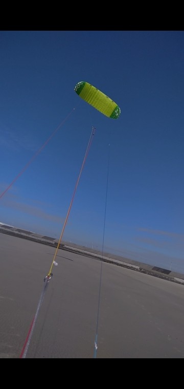
Popular spot activity — Kitesurfing
-
September — March
Best season
-
N, NE, WSW, W, NW
Working wind directions
-

Waves 1-3m
Water conditions
-

>1m
Water depth
-
Crowded
Traffic
-

Intermediate
Level of riding
-

7-17
Kite sizes
Nearby spots
France top spots
We are sorry, but this model is available only in the App
You can get Windy.App for your platform here:


Or if this model is important for you in the web - please let us know at [email protected]

Or if this model is important for you in the web - please let us know at [email protected]