
Learn to measure wind speed and power conditions by the Beaufort scale
So you have been planning to try yachting for too long already, and there is no way to delay it anymore. If you already have a yacht, good for you. But what do all these “fresh gale”, “moderate breeze”, and “violent storm” mean?
These terms were created and described by navy officer Beaufort in a special scale.
Today the Beaufort scale is no longer used, because there are modern and more objective tools for meteorological measurements, like anemometers and the Doppler radars.
However, you can still come across it in weather forecasts, especially for sailing, and weather warnings. For some people, this scale is still a working scale. It is also may be still used for estimating wind characteristics over a large sea when there are no other wind instruments.
In this article, we’re going to learn about the Beaufort scale and its appliance. But first let's start with the wind, its harms, and benefits.
What is the Beaufort scale definition?
The Beaufort wild scale relates wind speed to observed conditions at sea or on land. In other words, wind speed and strength are not measured by specific instruments, but by human visual observation. The scale was used before the advent of modern wind instruments.
Some interesting facts about the scale's history:
- The full name of the scale is the Beaufort wind force scale. (Actually, it is not an exact scale, we will tell you about it further.)
- This scale was created in 1805 by Francis Beaufort, a hydrographer, meteorologist, and Royal Navy Irish officer (later Rear Admiral). He did not create the scale from scratch.
- It has a long story evolution from the previous work of other scientists, including Daniel Defoe — yes, the English trader and writer, the author of the novel ‘Robinson Crusoe’.
- In the 18th century, there was no standard measure of the sea conditions, and the descriptions given by the naval officers who made weather observations could be very subjective. What is a "gentle breeze" for someone, can be a "strong breeze" for someone else.
- Beaufort was the one who developed the standardized scale and made it much easier for sailors to understand each other. In the beginning, this scale, however, made no reference to the speed of the wind, and it was added only later, in 1926.
Since that time, different people have made different changes to the Beaufort scale. For instance, in the 20th century, the measures were altered to improve its utility for meteorologists.
The formula for calculating wind on the Beaufort wind force scale is the following: v = 0.836 B3/2 m/s. Where:
- V is the wind speed at 10 meters above the sea (by the way, this is the standard height for all wind measurements).
- B is the Beaufort scale number.
For example, Beaufort scale 8 is equivalent to 20 m/s wind speed, wind force 10 on the Beaufort scale is related to 27 m/s, a hurricane on the Beaufort scale is equal to 33 m/s and more, and the Beaufort scale 0 means calm water surface looking like a mirror.
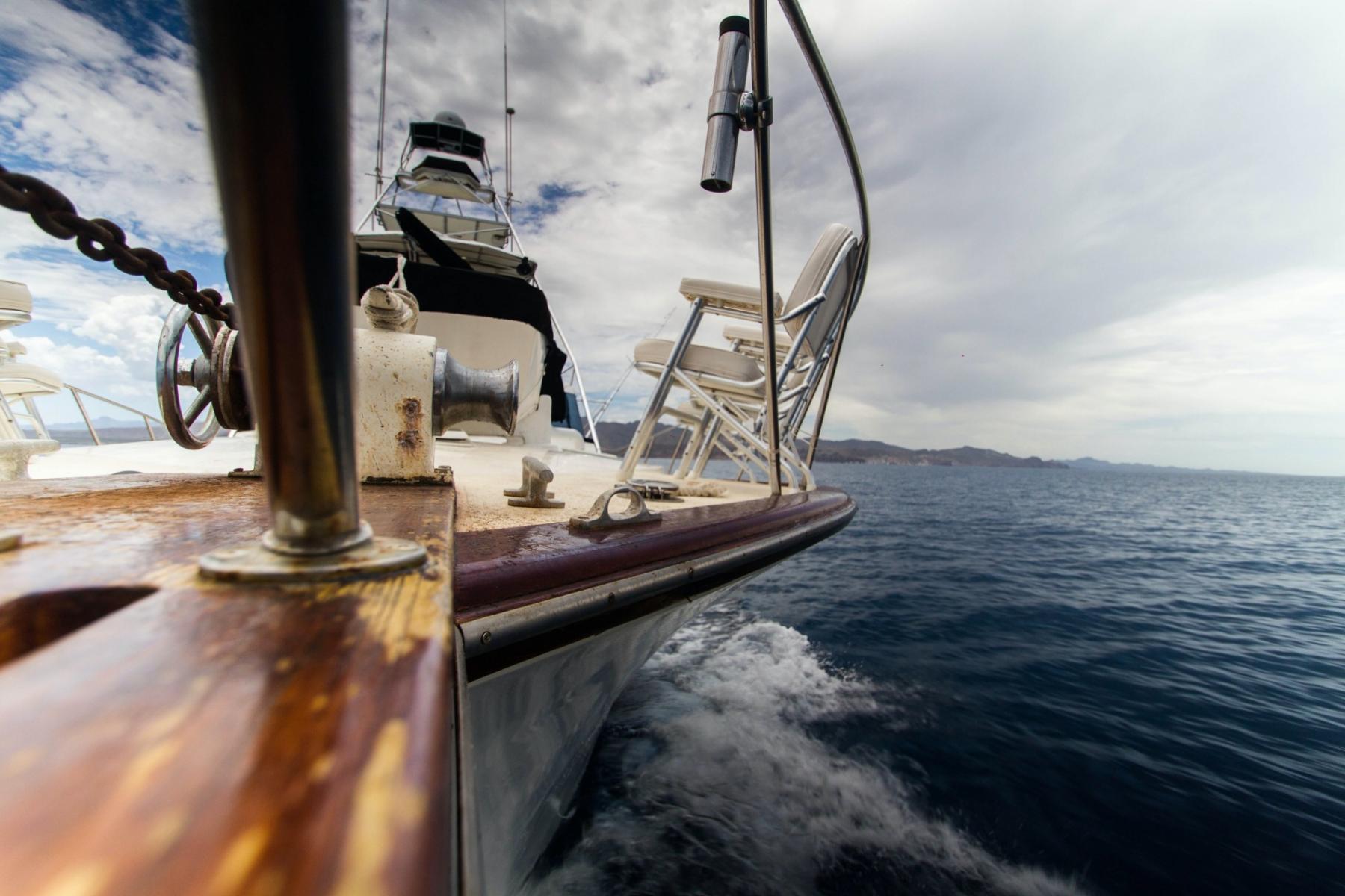
Photo: Pablo Garcia Saldana / Unsplash
How to read the Beaufort scale chart?
If you have exact data about wind speed, you can connect it with the Beaufort scale number using the following chart, where you see Beaufort number from 0 to 12 and wind description in the beginning, then — water and land conditions. (To get the larger image, simply right-click on it and open it in a new tab).

How to read the Beaufort scale chart. Valerya Milovanova / Windy.app
0 — calm
Wind speed: < 0.5 m/s (< 1 mph).
Wave height: 0 m (0 ft).
Sea: water surface is smooth, looks like a mirror.
Land: no wind, smoke rises vertically.
1 — light air
Wind speed: 0.5–1.5 m/s (1–3 mph).
Wave height: 0–0.3 m (0–1 ft).
Sea: scaly ripples on the water, no foam crests.
Land: you can define the direction of the smoke, but it is shown by its drift, not wind vanes.
2 — light breeze
Wind speed: 1.6–3.3 m/s (4–7 mph).
Wave height: 0.3–0.6 m (1–2 ft).
Sea: small wavelets, glassy crests don’t break.
Land: you can feel the wind on skin, leaves on the trees rustle.
3 — gentle breeze
Wind speed: 3.4–5.5 m/s (8–12 mph).
Wave height: 0.6–1.2 m (2–4 ft).
Sea: large wavelets, crests start to break, scattered white horses may be seen.
Land: leaves constantly move, flag waves.
4 — moderate breeze
Wind speed: 5.5–7.9 m/s (13–18 mph).
Wave height: 1–2 m (3.5–6 ft).
Sea: small waves becoming longer, numerous whitecaps.
Land: paper and leaves are scattered.
5 — fresh breeze
Wind speed: 8–10.7 m/s (19–24 mph).
Wave height: 2–3 m (6–10 ft).
Sea: moderate waves taking longer form, many whitecaps, some spray.
Land: small trees sway, whitecaps form on waves.
6 — strong breeze
Wind speed: 10.8–13.8 m/s (25–31 mph).
Wave height: 3–4 m (9–13 ft).
Sea: larger waves, whitecaps common, more spray.
Land: Umbrellas are hard to use, large branches on trees move.
7 — high wind, moderate gale, near gale
Wind speed: 13.9–17.1 m/s (32–38 mph).
Wave height: 4–5.5 m (13–19 ft).
Sea: sea heaps up, large waves, white foam streaks off breakers.
Land: Trees sway, walking in the wind is difficult.
8 — gale, fresh gale
Wind speed: 17.2–20.7 m/s (39–46 mph).
Wave height: 5.5–7.5 m (18–25 ft).
Sea: moderately high waves, edges of crests begin to break into spindrift.
Land: Twigs and branches break off of trees.
9 — strong / severe gale
Wind speed: 20.8–24.4 m/s (47–54 mph).
Wave height: 7–10 m (23–32 ft).
Sea: high waves, crests roll over. Foam is blown along the wind direction. Large amounts of spray may reduce visibility.
Land: roof tiles blow off buildings.
10 — storm whole gale
Wind speed: 24.5–28.4 m/s (55–63 mph).
Wave height: 9–12.5 m (29–41 ft).
Sea: very high waves with overhanging crests. White appearance in the sea. Large amounts of airborne spray.
Land: trees are uprooted.
11 — violent storm
Wind speed: 28.5–32.6 m/s (64–72 mph).
Wave height: 11.5–16 m (37–52 ft).
Sea: exceptionally high waves that can hide small and medium ships to view. Water covered with long white patches of foam.
Land: widespread damage to vegetation and buildings, nearly no visibility at sea.
12 — hurricane force
Wind speed: ≥ 32.7 m/s (≥ 73 mph).
Wave height: ≥ 14 m (≥ 46 ft).
Sea: completely white with driving spray; visibility very seriously affected.
Land: widespread destruction.
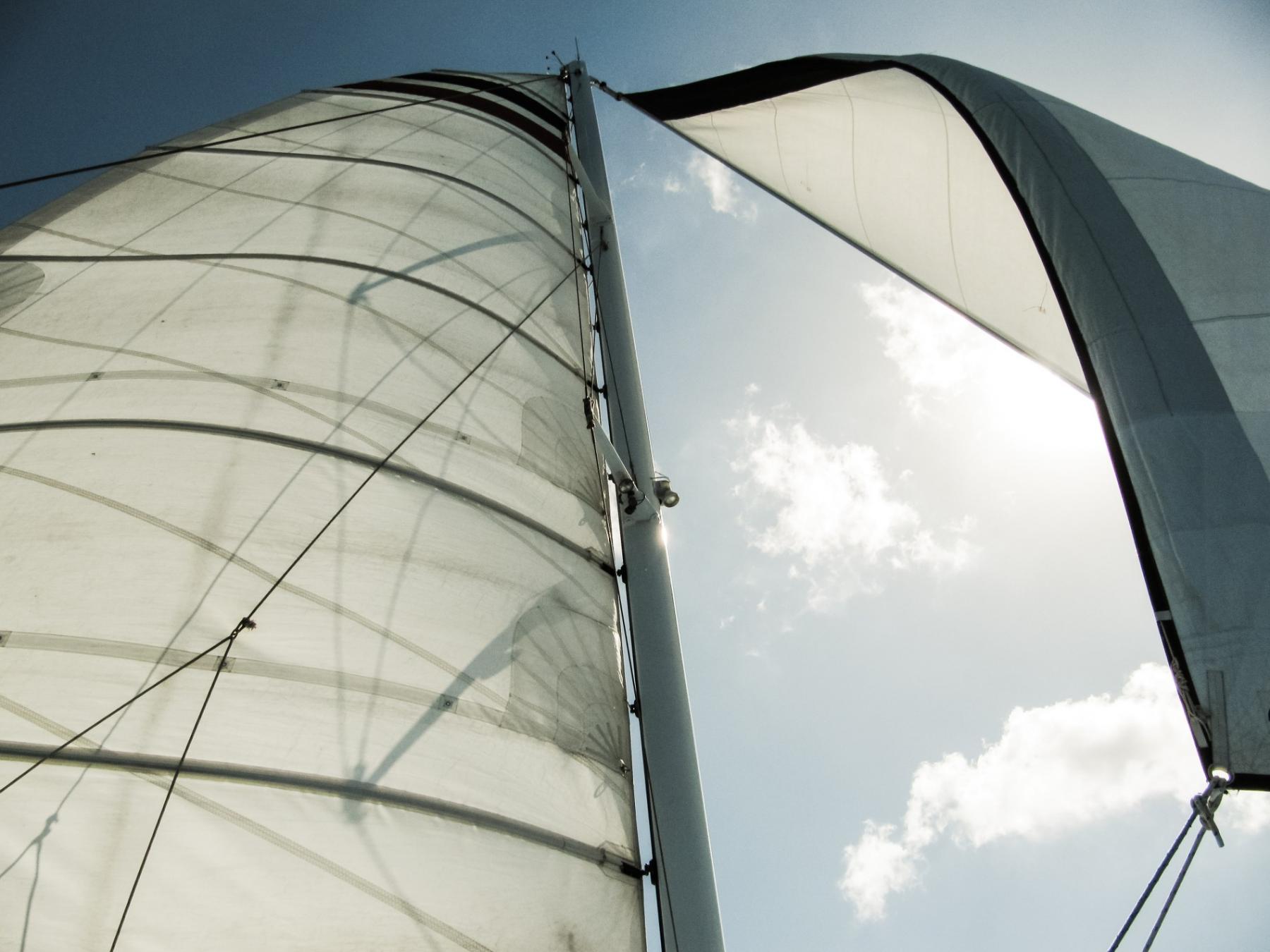
Photo: kelly-sikkema / unsplash
As the scale is based on visual and subjective observation, in different countries people still alter it to make it more useful for their particular region and specific weather conditions. For example:
- The Asian countries of Taiwan and China have 17 rather than 12 numbers on the Beaufort wind scale.
- In the U.S., with winds of 6-7 on the Beaufort scale, the weather services send out warnings that it can be dangerous to fly on small light aircraft, and if 8-9 on the scale is a gale warning. Winds of 10 and 11 are a storm warning, and 12 is a hurricane warning.
- In Canada, offshore winds of 6 or 7 on the scale are considered strong wind, 8 and 9 are gale force, 10 and 11 are storm force, 12 is hurricane force.
- However, most European countries use the generally accepted scale, which is given in this article
Where to find Beaufort scale and wind speed forecast in the Windy.app?
Windy.app is a wind application, so the wind data is the main weather data. You can find it everywhere in the app, we even did the math — there are 35 different ways, of which the two main ones are:
1. On the wind map, where you can see a general wind pattern for the entire world or any point on the map — just click on the screen:

2. On a specific spot, where there is more data and it is more detailed. Sports also have weather profiles for specific sports:

3. On the Home screen: to see a Weather widget like this for all of your favorite spots, activate it go to the Main menu bar > Settings > Units > Favorite spots.

Finally, to see wind speed and strength on the Beaufort scale, from the Home screen, go to the same Units screen:
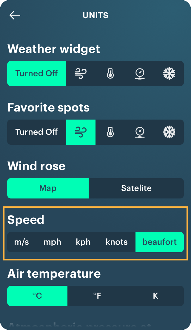
Now all wind data throughout the app will be displayed in beauforts rather than in meters in seconds and other values. To remove it, go back to the Settings.
Don't forget that you can see Wind speed map of the world right on this website.
Text: Irina Artemova, an author from Saint Petersburg, Russia. Her favorite sports are surfing and yoga.
Cover photo: Max Poschau / Unsplash
You will also find useful
Latest News
Professional Weather App
Get a detailed online 10 day weather forecast, live worldwide wind map and local weather reports from the most accurate weather models.
Compare spot conditions, ask locals in the app chat, discover meteo lessons, and share your experience in our Windy.app Community.
Be sure with Windy.app.


