Cesena: statistiques météorologiques et historique du vent

44.1968° N, 12.2249° E
21.08.2026 (Friday)
  • Rain detected – challenging conditions
  • Models wind forecasts diverge significantly (> 5.9 m/s) (AROME 9.6 m/s vs ICON Global 3.7 m/s)
  • Light wind – experience required (5.7 m/s)
  • Significant gusts forecast (10.5 m/s)
  • Caution – short wave period (4.0 s)
  • High water temp – risk of overheating (29.8°C)
22.08.2026 (Saturday)
  • Good kite forecast: wind 4.1 m/s, gusts 7.4 m/s, no major model differences
  • Light wind – experience required (4.1 m/s)

  • Significant gusts forecast (7.4 m/s)
  • Caution – short wave period (4.1 s)
  • High water temp – risk of overheating (29.6°C)
23.08.2026 (Sunday)
  • Good kite forecast: wind 5.2 m/s, gusts 4.3 m/s, no major model differences
  • Light wind – experience required (5.2 m/s)
  • Caution – short wave period (2.6 s)
  • High water temp – risk of overheating (29.7°C)
24.08.2026 (Monday)
  • Good kite forecast: wind 5.2 m/s, gusts 4.7 m/s, no major model differences
  • Light wind – experience required (5.2 m/s)
  • Caution – short wave period (3.0 s)
  • High water temp – risk of overheating (29.9°C)
25.08.2026 (Tuesday)
  • Wind too light – not suitable (3.2 m/s)
  • Rain detected – challenging conditions
  • Caution – short wave period (2.6 s)
  • High water temp – risk of overheating (29.6°C)
26.08.2026 (Wednesday)
  • Good kite forecast: wind 5.1 m/s, gusts 4.4 m/s, no major model differences
  • Light wind – experience required (5.1 m/s)
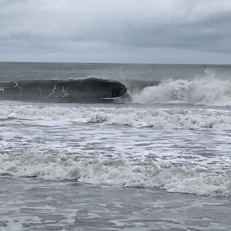
  • Caution – short wave period (2.3 s)
  • High water temp – risk of overheating (29.3°C)
*Experimental

New feature: Breeze Index! See how likely a breeze is to form, right in the forecast. Available in weather alerts and the meteogram.

How do you like it?

Closest meteostation (3.05km):

Nearby spots

Italy top spots

Share your experience here

Ce site web utilise des cookies pour améliorer votre expérience. Si vous continuez à naviguer sur ce site, vous acceptez notre politique de confidentialité et nos conditions d'utilisation.