07.10.2026
- Vent trop faible – non adapté (2.3 m/s)
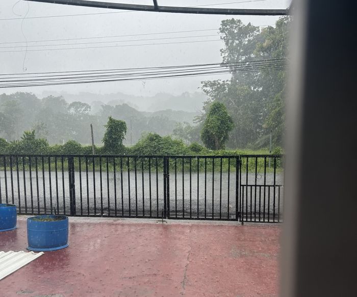
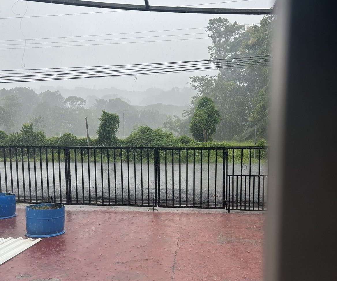
- Pluie détectée – conditions exigeantes
- Eau chaude – risque de surchauffe (30.4°C)
- Brise peu probable — 1% de probabilité
08.10.2026
- Vent trop faible – non adapté (2.8 m/s)
- Forte pluie – conditions dangereuses possibles (>2)
- Attention – période de vague trop longue pour les débutants (15 s)
- Eau chaude – risque de surchauffe (30.9°C)
- Brise peu probable — 4% de probabilité
09.10.2026
- Vent trop faible – non adapté (3.0 m/s)
- Pluie détectée – conditions exigeantes
- Attention – période de vague trop longue pour les débutants (14 s)
- Eau chaude – risque de surchauffe (31.1°C)
- Brise peu probable — 4% de probabilité
10.10.2026
- Vent trop faible – non adapté (1.8 m/s)
- Pluie détectée – conditions exigeantes
- Eau chaude – risque de surchauffe (31.0°C)
- Brise peu probable — 18% de probabilité
11.10.2026
- Vent trop faible – non adapté (2.8 m/s)
- Pluie détectée – conditions exigeantes
- Eau chaude – risque de surchauffe (30.7°C)
- Brise peu probable — 3% de probabilité
12.10.2026
- Vent trop faible – non adapté (2.9 m/s)
- Pluie détectée – conditions exigeantes
- Attention – période de vague trop longue pour les débutants (14 s)
- Eau chaude – risque de surchauffe (30.4°C)
- Brise peu probable — 0% de probabilité
13.10.2026
- Vent trop faible – non adapté (3.3 m/s)
- Pluie détectée – conditions exigeantes
- Eau chaude – risque de surchauffe (30.6°C)
- Brise peu probable — 0% de probabilité