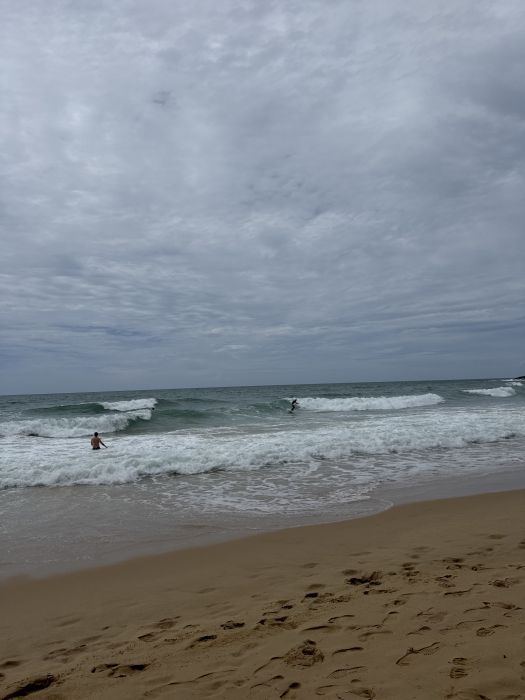
29.06.2026 (Monday)
- Strong wind – experience required (9.6 m/s)
- Significant gusts forecast (12.2 m/s)
- Heavy rain – dangerous conditions possible (>2)
- Caution – short wave period (5.5 s)
- High water temp – risk of overheating (30.8°C)
30.06.2026 (Tuesday)
- Significant gusts forecast (11.9 m/s)
- Heavy rain – dangerous conditions possible (>2)
- Caution – short wave period (5.4 s)
- High water temp – risk of overheating (30.6°C)
01.07.2026 (Wednesday)
- Strong wind – experience required (9.6 m/s)
- Significant gusts forecast (13.0 m/s)
- Heavy rain – dangerous conditions possible (>2)
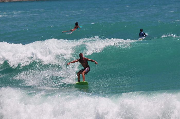
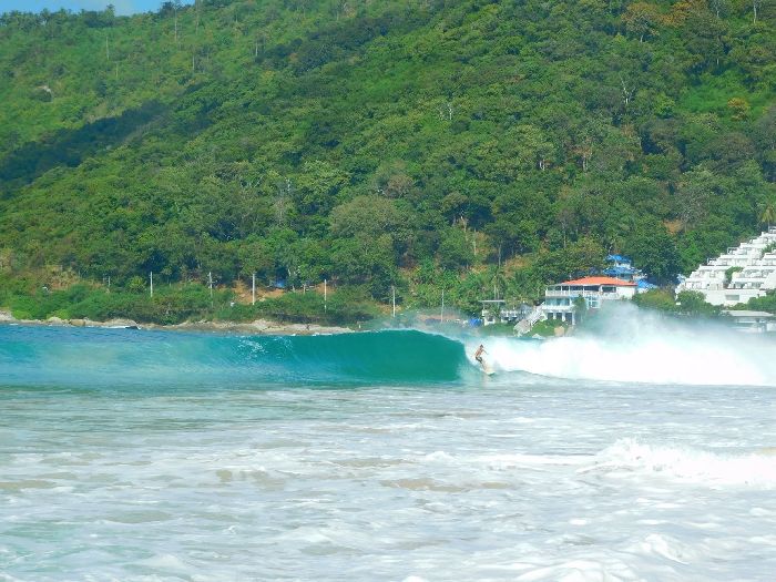
- Wave height – experience required (1.1 m)
- Caution – short wave period (5.8 s)
- High water temp – risk of overheating (30.4°C)
02.07.2026 (Thursday)
- Strong wind – experience required (10.4 m/s)
- Significant gusts forecast (14.5 m/s)
- Heavy rain – dangerous conditions possible (>2)
- Wave height – experience required (1.2 m)
- Caution – short wave period (6.2 s)
- High water temp – risk of overheating (30.2°C)
03.07.2026 (Friday)
- Significant gusts forecast (10.9 m/s)
- Heavy rain – dangerous conditions possible (>2)
- Wave height – experience required (1.1 m)
- Caution – short wave period (5.6 s)
- High water temp – risk of overheating (30.3°C)
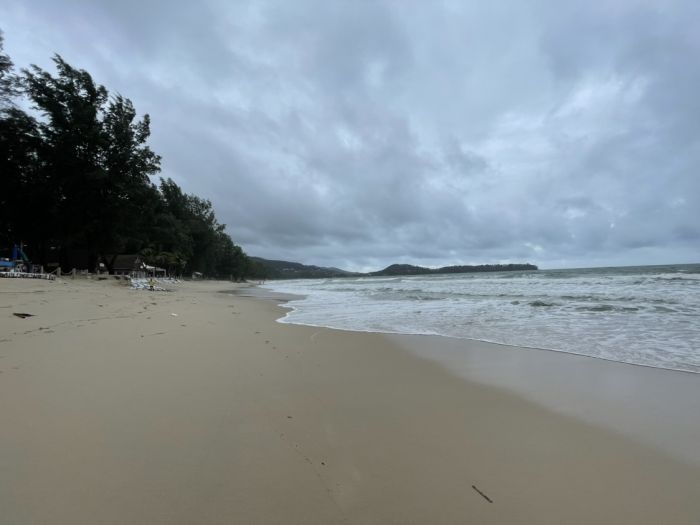
04.07.2026 (Saturday)
- Significant gusts forecast (9.9 m/s)
- Rain detected – challenging conditions
- Caution – short wave period (5.3 s)
- High water temp – risk of overheating (30.2°C)
New Feature!
We just added Weather Alerts. How was your experience?