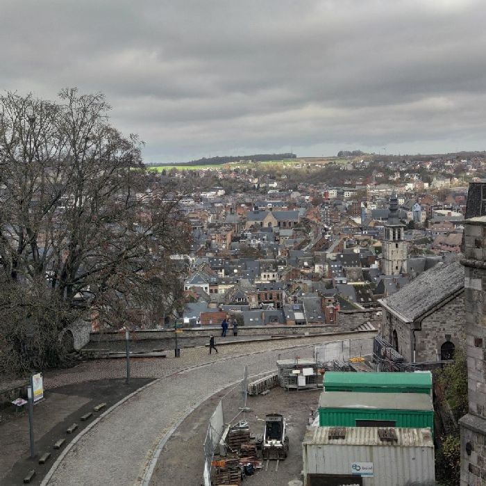
Namur 天気予報とライブ風マップ

5.8 m/sNamur209
 
time
wind
m/s
m/s*
°C
clouds
mm
moon
0.3----------------------------------------------------------------0.20.4-----------12.41.2
TODAY
TOMORROW
SUN, MAR 2
MON, MAR 3
TUE, MAR 4
WED, MAR 5
THU, MAR 6
FRI, MAR 7
SAT, MAR 8
SUN, MAR 9
020508111417202302050811141720230205081114172023020508111417202302050811141720230205081114172023020508111417202302050811141720230205081114172023020508111417202302
5.85.45.75.73.83.32.42.42.92.42.43.85.04.63.83.22.52.72.83.64.74.33.02.21.00.71.62.22.42.62.10.80.90.40.61.02.93.21.11.61.41.72.31.41.61.10.91.52.22.22.64.34.63.73.13.03.13.13.13.85.04.33.23.13.42.74.54.34.44.42.62.50.90.61.73.25.46.06.84.71.9
9.711118.25.76.05.33.46.32.93.56.46.56.56.37.12.53.33.95.95.85.23.62.21.00.81.53.12.42.72.10.91.00.50.81.33.23.71.21.61.41.72.21.41.71.30.91.52.12.22.68.06.45.43.24.04.13.94.06.67.26.83.74.55.85.87.26.54.75.03.02.90.90.61.64.57.19.4128.73.4
4.23.93.74.54.65.44.33.01.20.0-0.63.24.84.42.22.50.7-0.2-0.34.37.68.13.41.90.90.60.25.08.79.03.72.21.20.80.75.69.49.45.03.93.02.42.07.011127.66.35.14.73.89.014159.07.16.55.85.31114159.57.96.97.87.56.68.68.54.72.61.71.21.05.68.58.75.64.92.8

ライブ風マップ

0m/s2m/s5m/s6m/s10m/s12m/s15m/s17m/s19m/s22m/s25m/s30m/s
2 km
1 mi
© OpenStreetMap contributors
28 Friday
1 Saturday
2 Sunday
3 Monday
4 Tuesday
5 Wednesday
6 Thursday
7 Friday
8 Saturday
02
05
08
11
14
17
20
23
02
05
08
11
14
17
20
23
02
05
08
11
14
17
20
23
02
05
08
11
14
17
20
23
02
05
08
11
14
17
20
23
02
05
08
11
14
17
20
23
02
05
08
11
14
17
20
23
02
05
08
11
14
17
20
23
02
05
08
11
14
17
20
23
  • Wind
  • Gusts
  • Temperature
  • Precipitation
  • Clouds
  • Clouds high
  • Clouds medium
  • Clouds low
  • Cloud base
  • Humidity
  • Pressure MSL
  • Snow density
  • Snow depth
  • Dew point
  • Visibility
  • CAPE
  • Freezing Altitude
  • UV index
  • Sea Temperature
  • GFS27
  • ECMWF
  • ICONGLOBAL
  • ICON_D2
  • ICONEURO
  • AROME
  • HRRR
  • OPENSKIRON
  • OPENWRF
  • NAM
  • HRDPS
  • UKMET2
  • UVI
  • MFWAM
  • MYOCEAN
  • m/s
  • knots
  • bft
  • mph
  • km/h
  • C
  • F
 

Closest meteostation (13.46km):

FW9892 Tourinnes-st-lambert BE (F9892)

0.4 m/s
NW 304
2.21.32.21.31.81.81.82.23.12.22.73.144.55.45.44.96.35.44.944.94.54.94.55.85.444.544.56.37.24.96.34.55.85.43.61.84.53.13.60.40.90.90.40.40.91.82.21.33.12.21.82.22.22.71.32.21.81.31.81.82.21.82.21.31.31.80.40.90.42:003:004:005:006:007:008:009:0010:0011:0012:0013:0014:0015:0016:0017:0018:0019:0020:0021:0022:0023:000:001:00
0
m/s
2468

Namur 天気予報とライブ風マップ

  • 以下のための風と波の予報: Namur, Belgium 地域の風速と、風向、そして突風に関する詳細な情報が含まれています。波の予報には波高と時間帯が含まれています。また、Windy.appは気温や、気圧、雲量、降雨、そして潮汐などの一般的な天気予報も提供しています。
  • 以下のための予報:」 NamurはGFSモデルに基づいており、ウインドサーフィンや、カイトサーフィン、セーリング、そして他のエクストリームスポーツのために作られています。すべてのデータは1日に4回更新されます。予報は最大で10日まで1時間から3時間の段階でご利用いただけます。
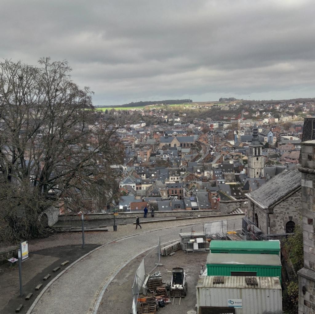
人気スポット活動 — フィッシング

ベストシーズン

9月 — 7月

ベストシーズン

spot.height

Yes

ライセンス

場所のタイプ

場所のタイプ

フィッシングテクニック

フライフィッシング

フィッシングテクニック


最寄りの場所

Lac de Genval • 38km
6 m/s, Northwest +5 °C, Partly cloudy
Rochefort • 44km
5 m/s, Northwest +3 °C, Partly cloudy
Sint-Truiden • 44km
6 m/s, Northwest +5 °C, Partly cloudy
7 meuses • 13km
6 m/s, Northwest +4 °C, Partly cloudy
BEAUVECHAIN (BAF (EBBE) • 31km
7 m/s, Northwest +5 °C, Partly cloudy
Tervuren • 46km
6 m/s, Northwest +5 °C, Partly cloudy


Found mistake or photo from another spot?
Write in review!

Reviews
3

G
Guest
27 October 2021
Any season is good for visiting this place. The river Meuse is full of wonderful places for walking, hiking along the river or climbing on the numerous magical rocks (up to 80m high). It’s also a region full of nice spots for fishing, boating, water-skiing, and motorbiking. If you're hungry, you could visit some restaurant and cafés along the river.
G
Guest
05 February 2020
No precise spot to mention. It’s just a region full of nice spots to look, hike, use RC gliders (even if it’s prohibited), fishing, boating, water-skiing, and motorbikes or « muscle »-bikes (too old for that). I’m sure some crazy guys could find spots for paragliding or similar things.
G
Guest
05 February 2020
The river Meuse from France to Namur (going through Dinant) is full of wonderful places, for walking, hiking along the river or climbing on the numerous magical rocks (up to 80m high). It is nice to have more than a look on the trails going on both sides of the river Lesse (from Dinant and up -> Bouillon. I used the app for my RC gliders or electric powered gliders. Now I use it mainly to prevent from heavy winds when going on relax trips on my big motorbike (which is a bit too much sensible to lateral wind gusts -afraid of being thrown out of the road when crossing a truck)
このウェブサイトは、あなたの体験を改善するためにクッキーを使用しています。このサイトの利用を続けることによって、プライバシーポリシーと利用規約に同意することになります。
Scan code with camera