16.07.2026 (Thursday)
- 💨 Unlikely breeze — 0% probability
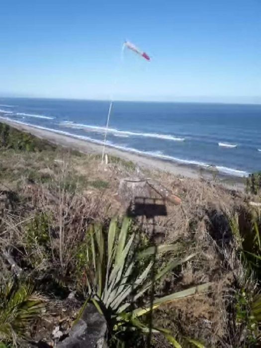
- Light wind – experience required (5.9 m/s)
- Significant gusts forecast (10.1 m/s)
- Rain detected – challenging conditions
- Dangerous wave height forecast (2.8 m)
- Low water temp – risk of hypothermia (13.3°C)
17.07.2026 (Friday)
- 💨 Unlikely breeze — 3% probability
- Wind too light – not suitable (1.9 m/s)
- Significant gusts forecast (3.0 m/s)
- Rain detected – challenging conditions
- Dangerous wave height forecast (2.5 m)
- Low water temp – risk of hypothermia (13.3°C)
18.07.2026 (Saturday)
- 💨 Unlikely breeze — 2% probability
- Wind too light – not suitable (1.8 m/s)
- Significant gusts forecast (3.1 m/s)
- Rain detected – challenging conditions
- Dangerous wave height forecast (2.4 m)
- Low water temp – risk of hypothermia (13.3°C)
19.07.2026 (Sunday)
- 💨 Moderate breeze chance — 60% probability
- Light wind – experience required (4.5 m/s)
- Significant gusts forecast (8.3 m/s)
- Rain detected – challenging conditions
- Dangerous wave height forecast (2.2 m)
- Low water temp – risk of hypothermia (13.3°C)
20.07.2026 (Monday)
- 💨 Low breeze chance — 46% probability
- Wind too light – not suitable (2.6 m/s)
- Significant gusts forecast (3.3 m/s)
- Rain detected – challenging conditions
- Wave height – experience required (1.6 m)
- Low water temp – risk of hypothermia (13.3°C)
21.07.2026 (Tuesday)
- 💨 Moderate breeze chance — 62% probability
- Wind too light – not suitable (2.4 m/s)
- Wave height – experience required (1.2 m)
- Low water temp – risk of hypothermia (13.3°C)