08.05.2026 (Friday)
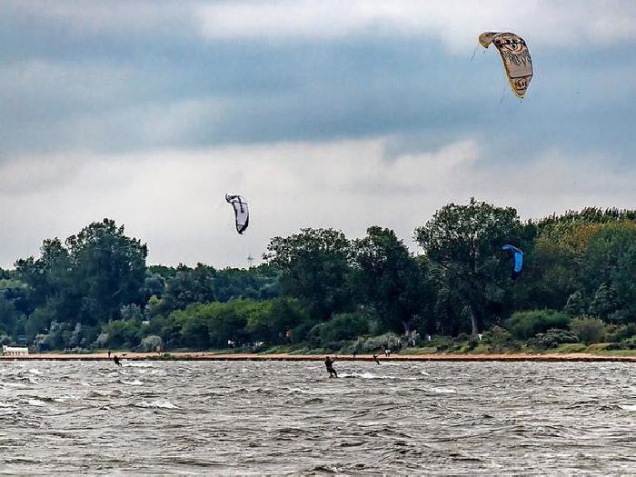
- Moderate wind forecast (7.9 m/s)
- Gusts expected – use caution (9.7 m/s)
- Low tides – risk of grounding (0.2 m, LAT)
- Low water temperature (12.1 °C)
09.05.2026 (Saturday)
- Gusts expected – use caution (8.5 m/s)
- Low tides – risk of grounding (0.2 m, LAT)
- Low water temperature (12.4 °C)
10.05.2026 (Sunday)
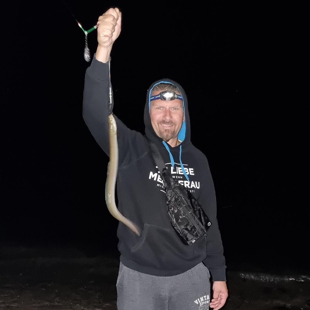
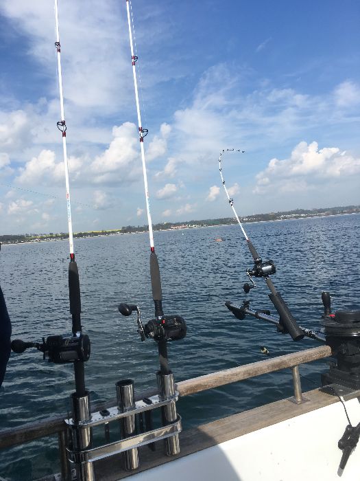
- Good fishing forecast: high fish activity 70%, best time 08:00, 06:00
- Rain detected – challenging conditions
- Low tides – risk of grounding (0.2 m, LAT)
- Low water temperature (13.4 °C)
11.05.2026 (Monday)
- Moderate wind forecast (9.8 m/s)
- Gusts expected – use caution (12.3 m/s)
- Fog formation is possible
- Heavy rain – dangerous conditions possible (>2 mm)
- Low tides – risk of grounding (0.2 m, LAT)
- Low water temperature (12.8 °C)
12.05.2026 (Tuesday)
- Low fish activity: 56%
- Strong wind forecast (12.5 m/s)
- Strong gusts – risk of sail damage (17.2 m/s)
- Fog formation is possible
- Rain detected – challenging conditions
- Low tides – risk of grounding (0.2 m, LAT)
- Low water temperature (12.2 °C)
13.05.2026 (Wednesday)
- Moderate wind forecast (9.2 m/s)
- Gusts expected – use caution (14.6 m/s)
- Rain detected – challenging conditions
- Low tides – risk of grounding (0.2 m, LAT)
- Low water temperature (12.3 °C)
New Feature!
We just added Weather Alerts. How was your experience?