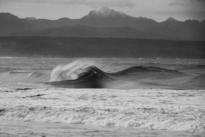
13.06.2026 (Saturday)
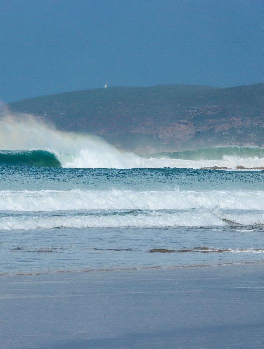
- Dangerous wave for beginners/intermediates (3.6 m)
- Moderate wind (5.5 m/s)
- Wetsuit required (17.0°C)
- Dangerous low tide forecast (0.4 m, LAT)
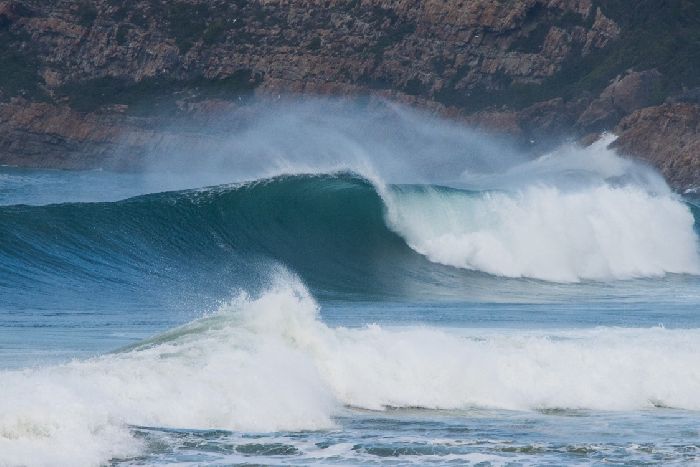
14.06.2026 (Sunday)
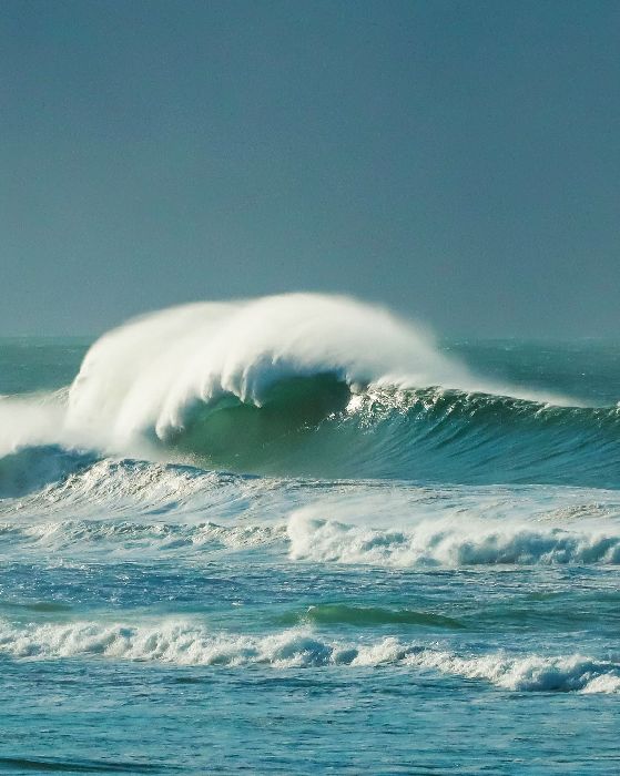
- Good surfing forecast: comfortable wave size 3.0 m, period 9.3 s
- Wetsuit required (16.9°C)
- Dangerous low tide forecast (0.4 m, LAT)
15.06.2026 (Monday)
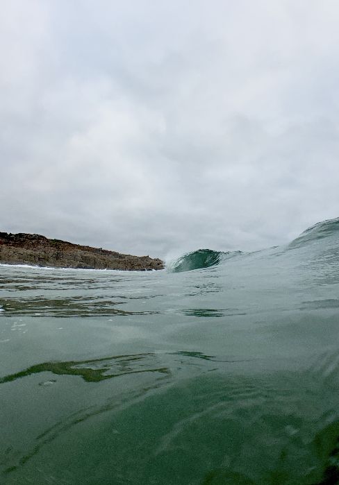
- Good surfing forecast: comfortable wave size 2.9 m, period 8.8 s
- Wetsuit required (16.8°C)
- Dangerous low tide forecast (0.3 m, LAT)
16.06.2026 (Tuesday)
- Good surfing forecast: comfortable wave size 1.8 m, period 7.4 s
- Wetsuit required (16.8°C)
- Dangerous low tide forecast (0.2 m, LAT)
17.06.2026 (Wednesday)
- Good surfing forecast: comfortable wave size 2.0 m, period 9.6 s
- Wetsuit required (16.6°C)
- Dangerous low tide forecast (0.3 m, LAT)
18.06.2026 (Thursday)
- Good surfing forecast: comfortable wave size 2.1 m, period 10.4 s
- Wetsuit required (16.7°C)
- Dangerous low tide forecast (0.5 m, LAT)
New Feature!
We just added Weather Alerts. How was your experience?