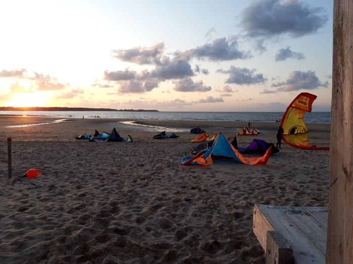
13.07.2026 (Monday)
- 💨 Low breeze chance — 39% probability
- Strong wind – experience required (12.5 m/s)
- Significant gusts forecast (18.4 m/s)
- Rain detected – challenging conditions
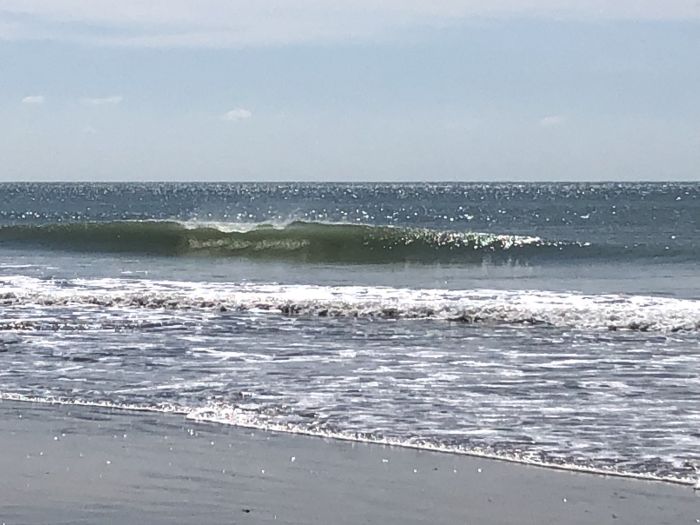
- Caution – short wave period (6.7 s)
- High water temperature (26.2°C)
14.07.2026 (Tuesday)
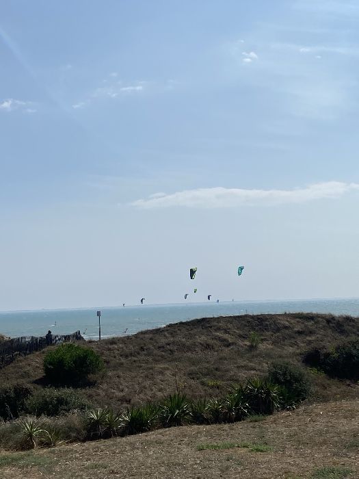
- Good kite forecast: wind 5.7 m/s, gusts 8.0 m/s
- 💨 Unlikely breeze — 17% probability
- Light wind – experience required (5.7 m/s)
- Significant gusts forecast (8.0 m/s)
- Caution – short wave period (6.4 s)
- High water temperature (26.8°C)
15.07.2026 (Wednesday)
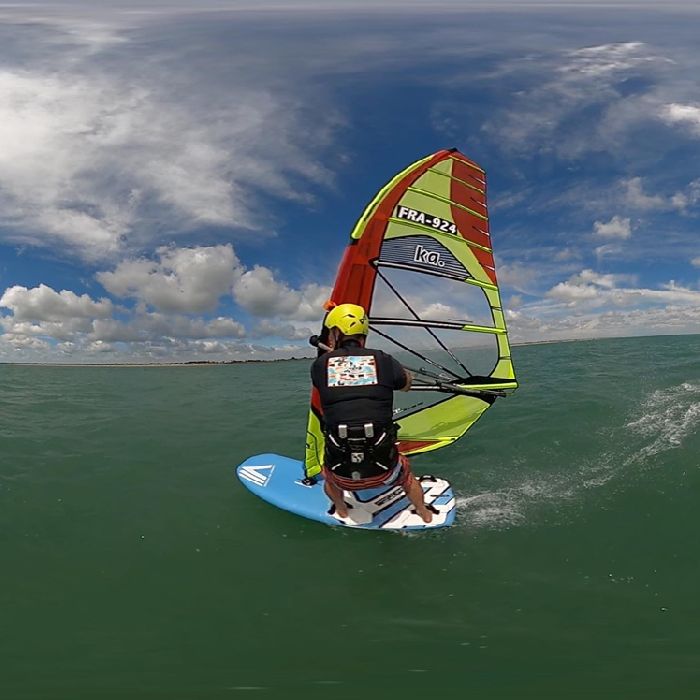
- Good kite forecast: wind 8.1 m/s, gusts 13.3 m/s
- 💨 Unlikely breeze — 16% probability
- Significant gusts forecast (13.3 m/s)
- High water temperature (26.7°C)
16.07.2026 (Thursday)
- Good kite forecast: wind 9.0 m/s, gusts 11.2 m/s
- 💨 Unlikely breeze — 9% probability
- Strong wind – experience required (9.0 m/s)
- Significant gusts forecast (11.2 m/s)
- Caution – short wave period (6.3 s)
- High water temperature (26.4°C)
17.07.2026 (Friday)
- Good kite forecast: wind 6.5 m/s, gusts 8.8 m/s
- 💨 Low breeze chance — 33% probability
- Significant gusts forecast (8.8 m/s)
- Caution – short wave period (5.6 s)
- High water temperature (25.9°C)
18.07.2026 (Saturday)
- Good kite forecast: wind 7.4 m/s, gusts 10.2 m/s
- 💨 Low breeze chance — 31% probability
- Significant gusts forecast (10.2 m/s)
- Caution – short wave period (5.4 s)