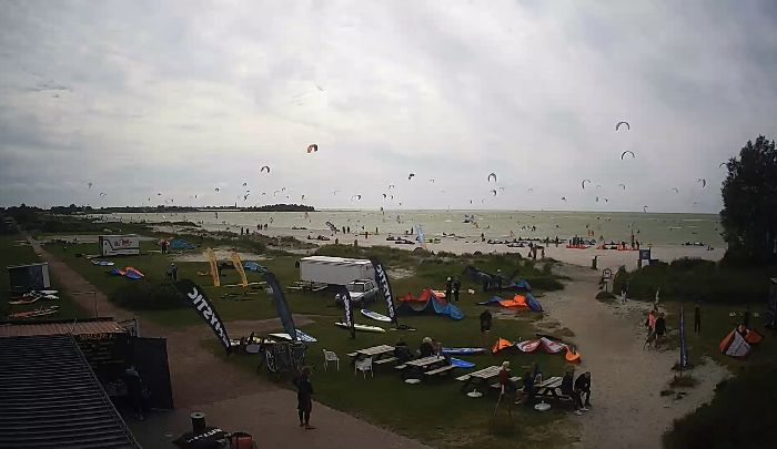
17.07.2026 (Friday)
- Good kite forecast: wind 8.1 m/s, gusts 9.2 m/s
- Significant gusts forecast (9.2 m/s)
- Caution – short wave period (5.6 s)
18.07.2026 (Saturday)
- Good kite forecast: wind 9.4 m/s, gusts 9.8 m/s
- Strong wind – experience required (9.4 m/s)
- Significant gusts forecast (9.8 m/s)
- Wave height – experience required (1.4 m)
- Caution – short wave period (7.6 s)
19.07.2026 (Sunday)
- Good kite forecast: wind 9.6 m/s, gusts 10.3 m/s
- Strong wind – experience required (9.6 m/s)
- Significant gusts forecast (10.3 m/s)
- Wave height – experience required (1.6 m)
20.07.2026 (Monday)
- Strong wind – experience required (9.4 m/s)
- Significant gusts forecast (9.7 m/s)
- Rain detected – challenging conditions
- Wave height – experience required (1.2 m)
- Caution – short wave period (6.7 s)
21.07.2026 (Tuesday)
- Significant gusts forecast (7.2 m/s)
- Rain detected – challenging conditions
- Wave height – experience required (1.0 m)
- Caution – short wave period (5.6 s)
22.07.2026 (Wednesday)
- Good kite forecast: wind 7.9 m/s, gusts 8.3 m/s
- Significant gusts forecast (8.3 m/s)
- Wave height – experience required (1.2 m)
- Caution – short wave period (5.8 s)