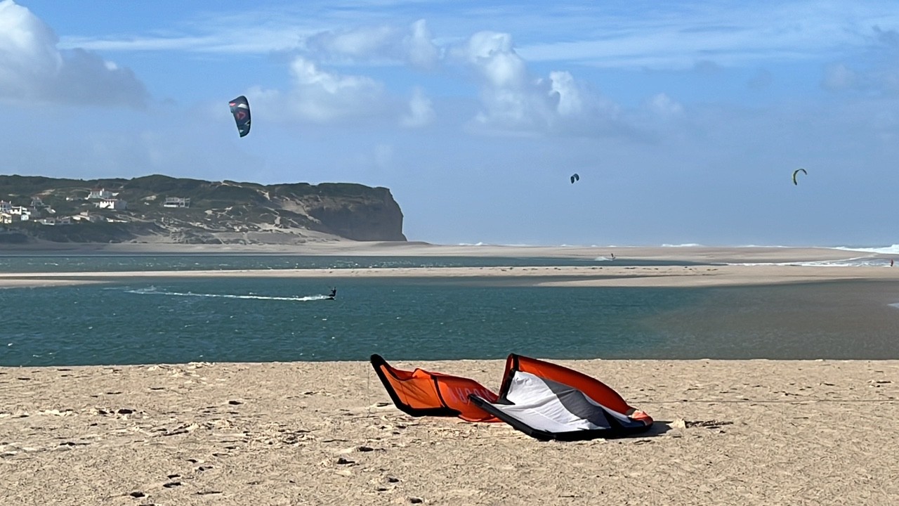
08.07.2026 (Wednesday)
- Good kite forecast: wind 6.2 m/s, gusts 9.7 m/s
- 💨 Unlikely breeze — 9% probability
- Significant gusts forecast (9.7 m/s)
- Wave height – experience required (1.0 m)
- Caution – short wave period (4.9 s)
09.07.2026 (Thursday)
- Good kite forecast: wind 5.7 m/s, gusts 7.6 m/s
- 💨 Unlikely breeze — 8% probability
- Light wind – experience required (5.7 m/s)
- Significant gusts forecast (7.6 m/s)
- Caution – short wave period (4.3 s)
- Wetsuit required (17.7°C)
10.07.2026 (Friday)
- Good kite forecast: wind 4.3 m/s, gusts 6.1 m/s
- 💨 Low breeze chance — 48% probability
- Light wind – experience required (4.3 m/s)
- Significant gusts forecast (6.1 m/s)
- Caution – short wave period (7.2 s)
11.07.2026 (Saturday)
- Good kite forecast: wind 4.1 m/s, gusts 5.6 m/s
- 💨 Moderate breeze chance — 56% probability
- Light wind – experience required (4.1 m/s)
- Significant gusts forecast (5.6 m/s)
- Wave height – experience required (1.1 m)
12.07.2026 (Sunday)
- Good kite forecast: wind 4.5 m/s, gusts 4.7 m/s
- 💨 Low breeze chance — 35% probability
- Light wind – experience required (4.5 m/s)
- Significant gusts forecast (4.7 m/s)
- Wave height – experience required (1.1 m)
- Caution – short wave period (7.6 s)
13.07.2026 (Monday)
- Good kite forecast: wind 4.0 m/s, gusts 4.8 m/s
- 💨 Moderate breeze chance — 62% probability
- Light wind – experience required (4.0 m/s)
- Significant gusts forecast (4.8 m/s)
- Caution – short wave period (6.2 s)