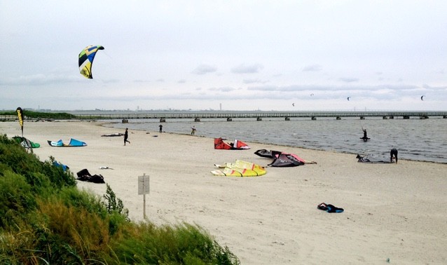
03.07.2026 (Friday)
- 💨 Unlikely breeze
- Strong wind – experience required (9.5 m/s)
- Significant gusts forecast (12.5 m/s)
- Heavy rain – dangerous conditions possible (>2)
- Caution – short wave period (4.8 s)
04.07.2026 (Saturday)
- Good kite forecast: wind 9.2 m/s, gusts 12.8 m/s
- 💨 Unlikely breeze
- Strong wind – experience required (9.2 m/s)
- Significant gusts forecast (12.8 m/s)
- Caution – short wave period (5.8 s)
05.07.2026 (Sunday)
- 💨 Unlikely breeze
- Light wind – experience required (5.0 m/s)
- Significant gusts forecast (8.9 m/s)
- Rain detected – challenging conditions
- Caution – short wave period (4.2 s)
- Wetsuit required (17.8°C)
06.07.2026 (Monday)
- Good kite forecast: wind 8.0 m/s, gusts 10.8 m/s
- 💨 Unlikely breeze
- Significant gusts forecast (10.8 m/s)
- Caution – short wave period (4.9 s)
- Wetsuit required (17.3°C)
07.07.2026 (Tuesday)
- 💨 Unlikely breeze
- Significant gusts forecast (8.1 m/s)
- Rain detected – challenging conditions
- Caution – short wave period (5.3 s)
- Wetsuit required (15.9°C)
08.07.2026 (Wednesday)
- Good kite forecast: wind 6.2 m/s, gusts 7.4 m/s
- 💨 Unlikely breeze
- Significant gusts forecast (7.4 m/s)
- Caution – short wave period (4.5 s)
- Wetsuit required (15.8°C)