26.05.2026 (Tuesday)
- Moderate wind – caution advised (8.4 m/s)
- Gusts expected – use caution (12.8 m/s)
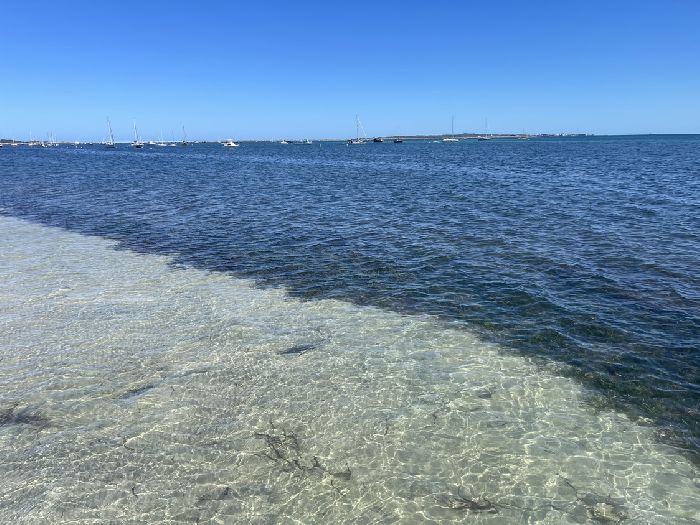
- Very low tide — shallow areas possible (0.4 m, LAT)
27.05.2026 (Wednesday)
- Dangerous wind – do not sail (13.6 m/s)
- Strong gusts – risk of sail damage (16.0 m/s)
- Rain detected – challenging conditions
- Wave height – use caution (1.8 m)
- Very low tide — shallow areas possible (0.3 m, LAT)
28.05.2026 (Thursday)
- Dangerous wind – do not sail (15.5 m/s)
- Strong gusts – risk of sail damage (17.5 m/s)
- Rain detected – challenging conditions
- Wave height – use caution (1.9 m)
- Very low tide — shallow areas possible (0.3 m, LAT)
29.05.2026 (Friday)
- Rain detected – challenging conditions
- Wave height – use caution (1.6 m)
- Very low tide — shallow areas possible (0.2 m, LAT)
30.05.2026 (Saturday)
- Dangerous wind – do not sail (13.7 m/s)
- Strong gusts – risk of sail damage (20.0 m/s)
- Rain detected – challenging conditions
- Fog may form according to forecast conditions
- Very low tide — shallow areas possible (0.2 m, LAT)
31.05.2026 (Sunday)
- Dangerous wind – do not sail (17.6 m/s)
- Strong gusts – risk of sail damage (21.2 m/s)
- Rain detected – challenging conditions
- Dangerous wave high forecast (3.1 m)
- Very low tide — shallow areas possible (0.2 m, LAT)
New Feature!
We just added Weather Alerts. How was your experience?