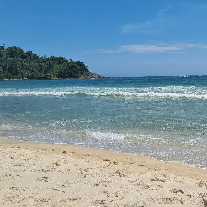
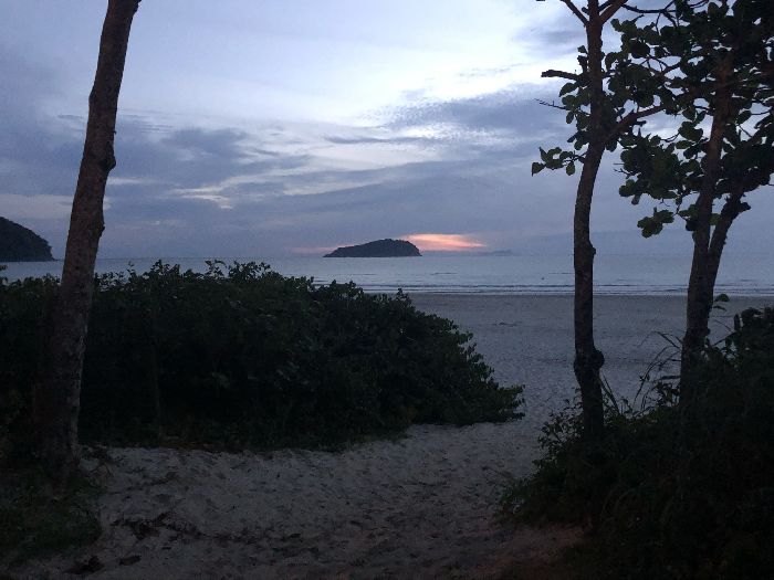
Sao Paulo - Praia Preta, 일기 예보 및 라이브 바람지도
라이브 바람지도
Sao Paulo - Praia Preta 일기 예보 및 라이브 바람지도
- 바람 및 파도 날씨 예보는 Sao Paulo - Praia Preta , Brazil 지역 풍속, 방향, 돌풍에 대한 자세한 정보를 알려드립니다. 파도 예보에는 파도 높이 및 주기가 포함됩니다. Windy.app은 또한 기온, 기압, 운량, 강수량 및 조류와 같은 일반적인 일기 예보를 제공합니다.
- 이 예보들은 Sao Paulo - Praia Preta 은(는) GFS 모델 기반으로 하며 윈드서핑, 카이트서핑, 항해 및 기타 익스트림 스포츠 활동을 위해 만들어졌습니다. 모든 업데이트는 하루에 4번 이루어집니다. 예측은 최대 10일 동안 1 - 3시간 동안 사용할 수 있습니다.
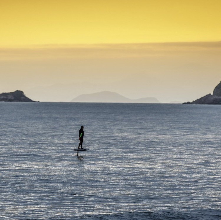
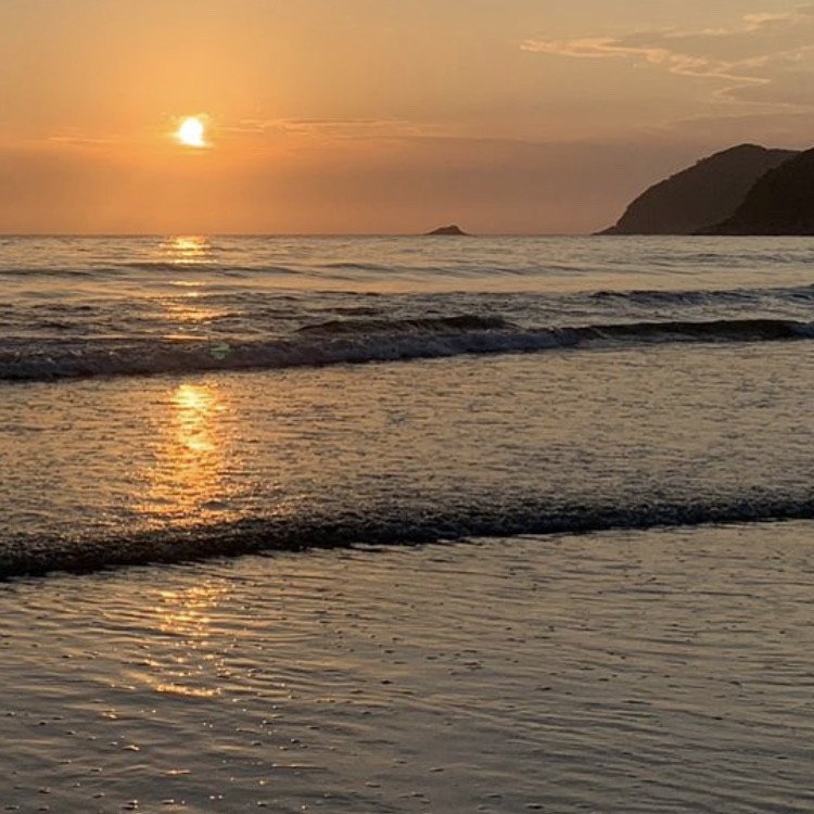
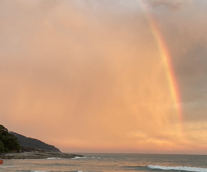

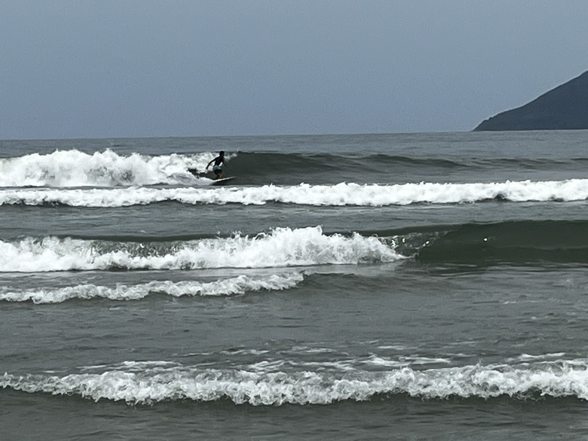
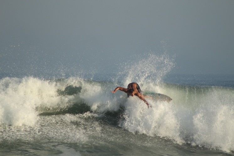
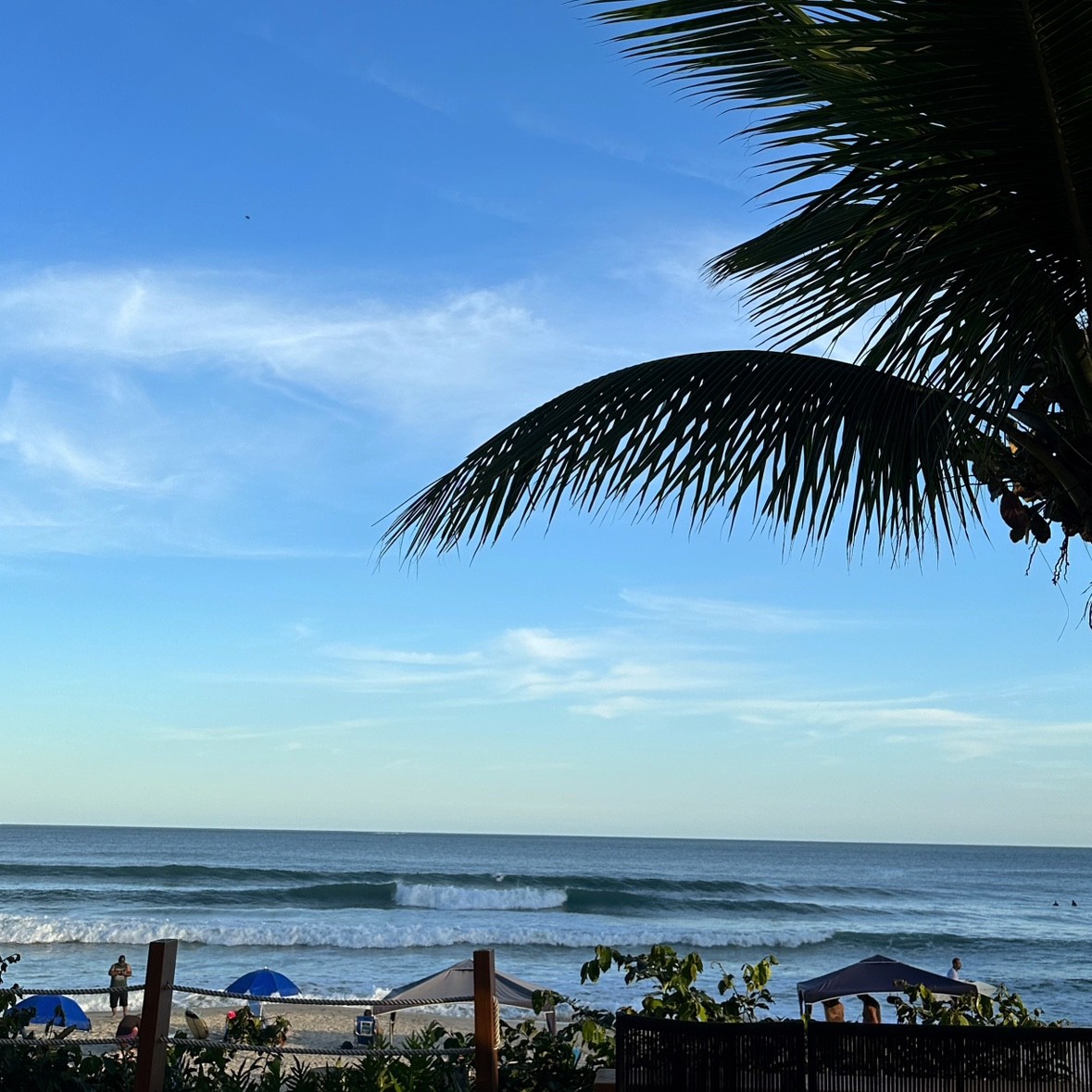

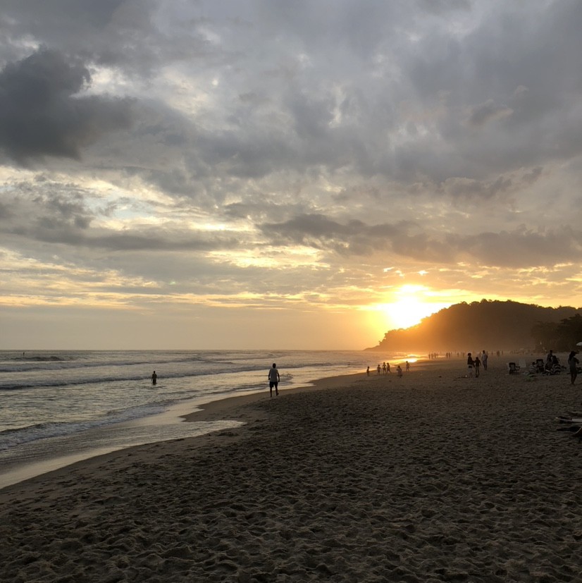


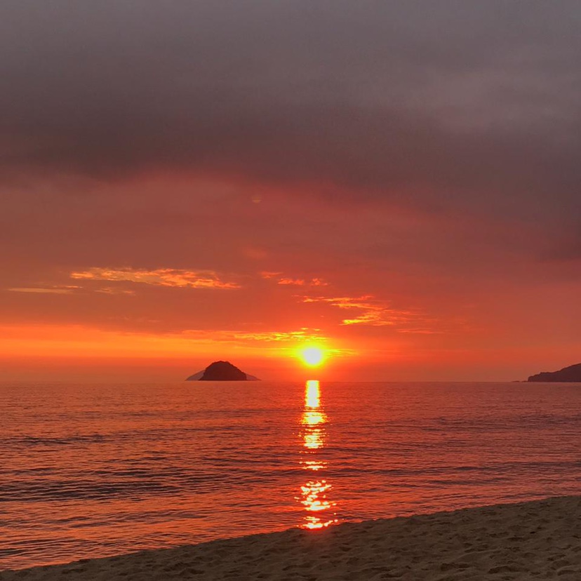
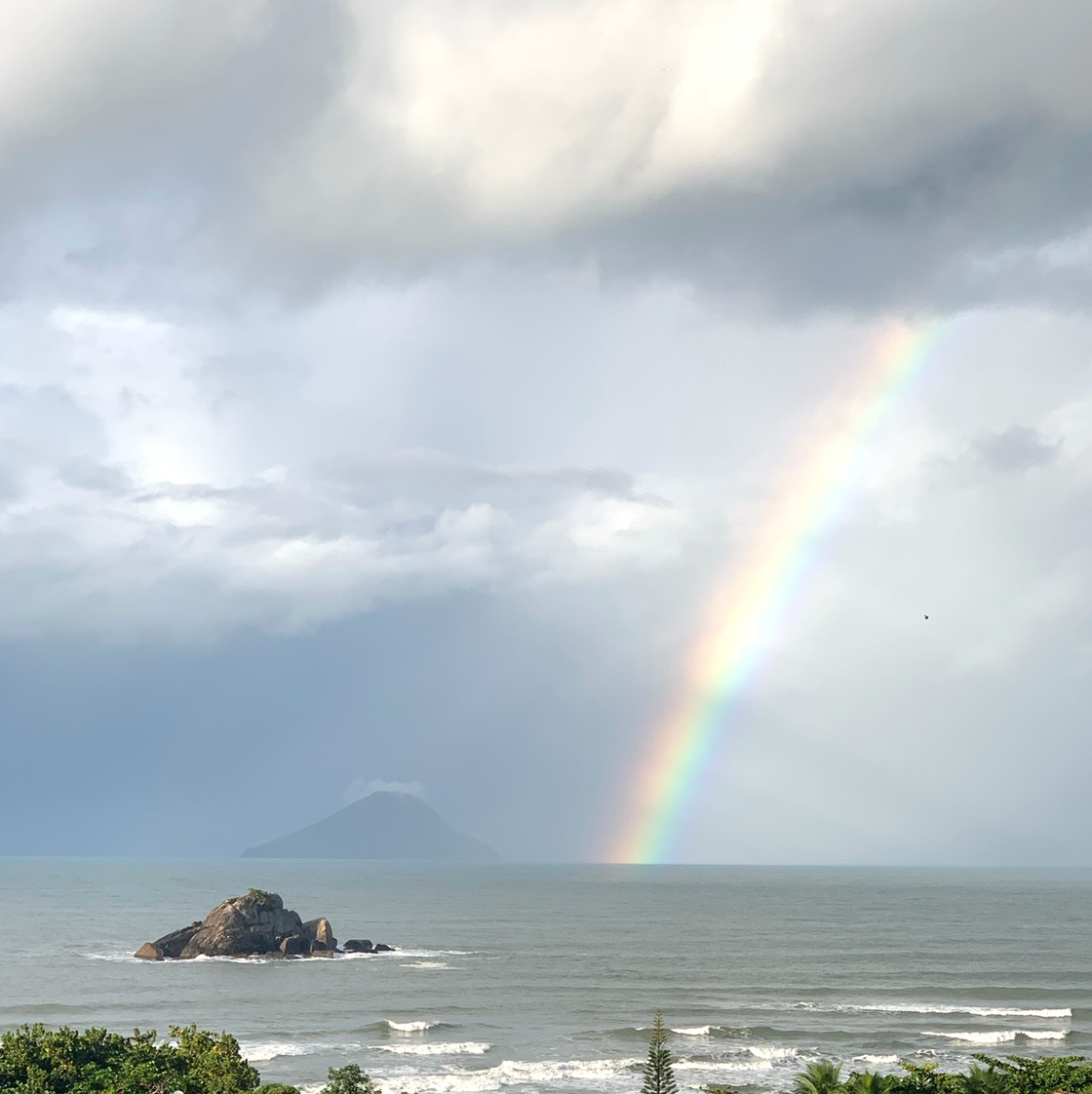
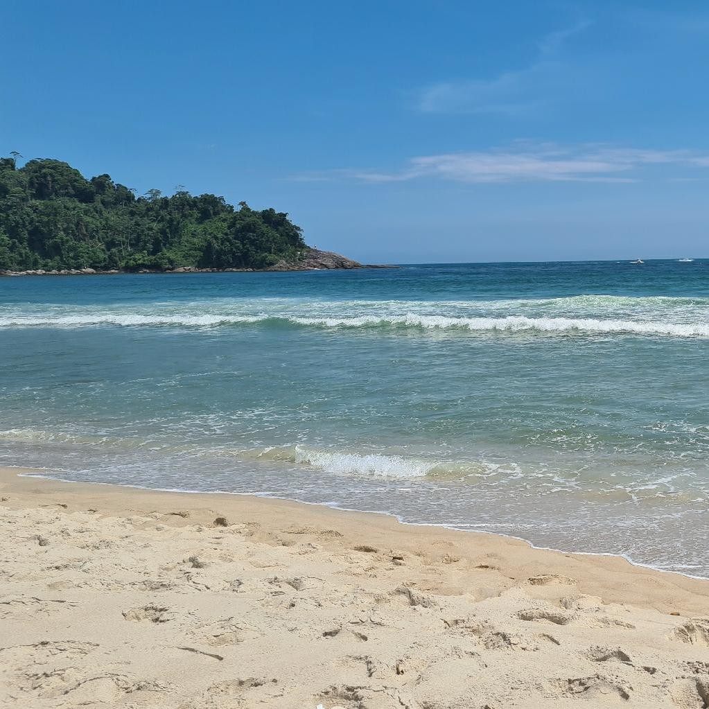
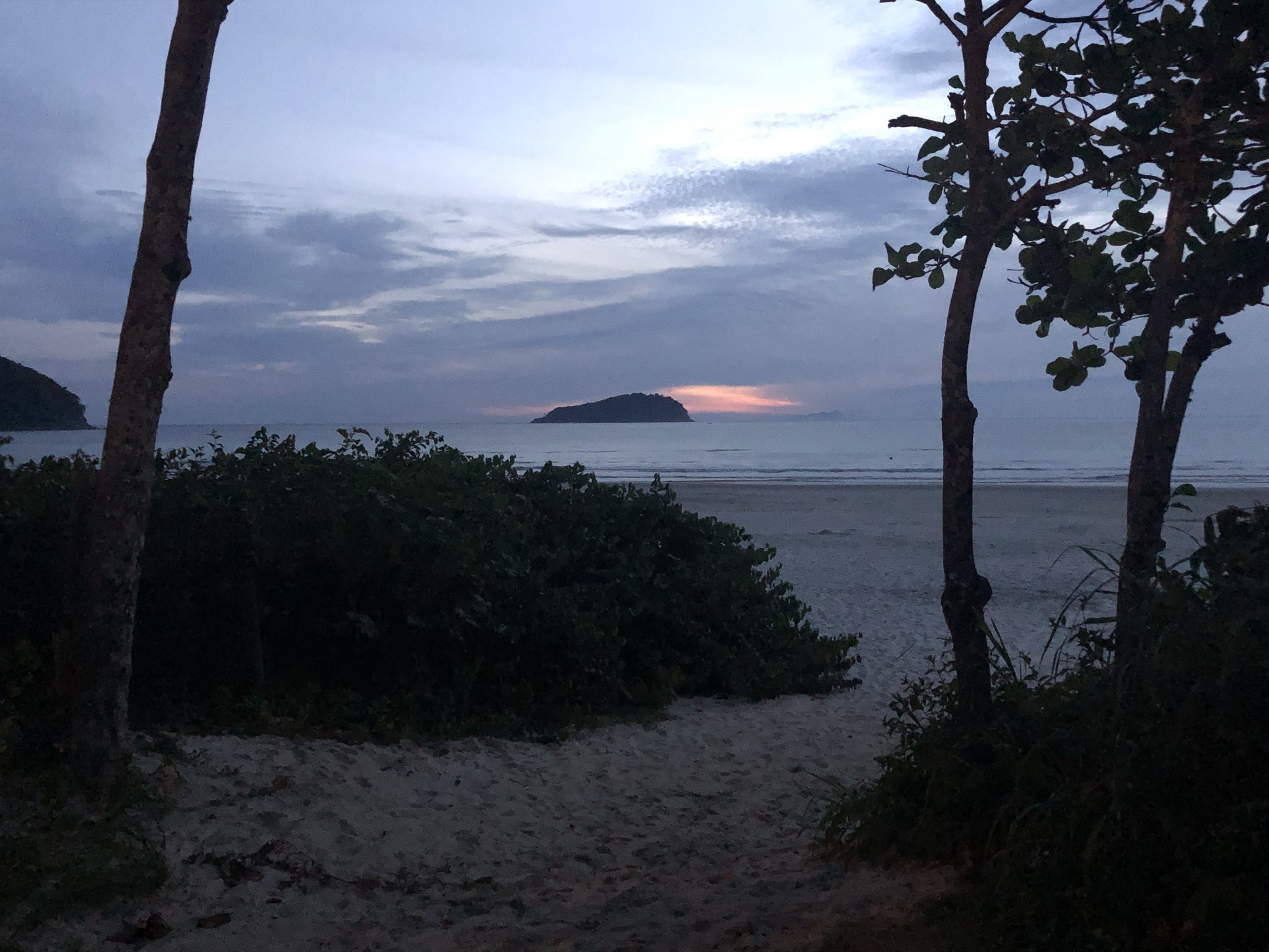

1 / 16
인기 스팟 활동 — 서핑
-
12월 — 2월
최고의 계절
-
E
일반적인 바람 방향
-
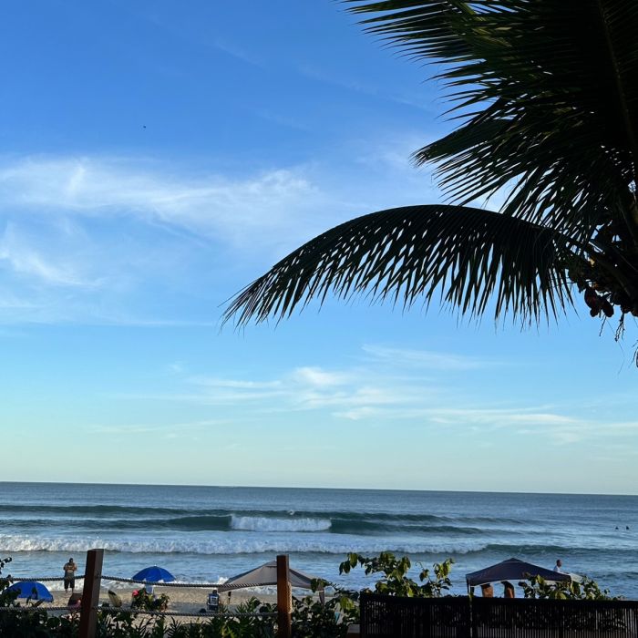
모래
해저
-
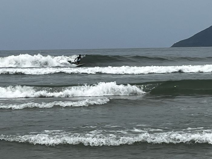
비치 브레이크
파도 유형
-
모든 조류
최적의 조류
-
1,5-3
파도 높이
-
E
일반적인 너울
-
원할
교통
Nearby spots
-
Marina Porto Ilhabela37km
1 m/s, Southeast
+24 °C
-
Praia de Maresias17km
1 m/s, Southeast
+25 °C
-
Ponta das Canas39km
1 m/s, Southeast
+24 °C
-
Ilhabela (Praia do Perequê)37km
1 m/s, Southeast
+24 °C
-
Sao Sebastiao Canal, Canal de São Sebastião35km
1 m/s, Southeast
+24 °C
-
Ilhabela38km
1 m/s, Southeast
+24 °C
-
Riviera de Sao Lourenco32km
3 m/s, Southeast
+25 °C
Brazil top spots
We are sorry, but this model is available only in the App
You can get Windy.App for your platform here:


Or if this model is important for you in the web - please let us know at [email protected]


Or if this model is important for you in the web - please let us know at [email protected]


