
How to read snow forecast to get better experience in winter sports
The real ski season in the mountains will begin in a month and a half, but you already need to prepare for it: to check whether your skis and other equipment are in working condition (and whether they even exist), to buy the missing things, write down the opening dates of your nearest ski resort or the one you want to go, and the like. Just as important is to update your knowledge of how to read snow forecast, without which to practice this and other winter sports is simply impossible. In this article, that we also updated for the new season, we will talk about it in detail.
What is snow forecast?
The snow forecast, as the name implies, is a forecast of the main winter weather element, which is the second most frequent type of precipitation after rain, which gives way to it with the onset of the cold season — now in the Northern Hemisphere.
The main thing to know about the snow forecast is that it is generally more complicated than the rain forecast, which is simply because snow itself is a more complex weather phenomenon than rain, right. Hence, the snow forecast includes many individual parameters that you need to consider to read it correctly — the success of your outdoor activities in the mountains in winter depends on it.
In particular, you need to be aware of three main things: 1). The specifics of the mountain winter weather forecast in general, 2). The duration of the forecast that you can trust, and 3). The differences between the snow forecast and the snow report — you may come across both concepts, so it's important not to get confused about them. Let's break them down individually:
1. The main features of the snow forecast in the mountains
Globally, snowfall is more common for two types of areas: the north and the mountains. And that’s understandable. The farther north you go, the closer to the North Pole. The higher in the mountains, the closer to space. Both places are the coldest.
There are lots of factors in the mountains impeding accurate forecasts:
- Short days and different slope exposure. Due to the complex terrain, there are much fewer daylight hours in the mountains than at lowlands. Because of this air in valleys cools quickly and doesn’t get warm enough during a short day. Exposure is the cardinal direction of the slope or the direction in relation to sunlight. It’s warmer on the slope facing the sun most of the day. The model has to take all those factors into account, that’s why a specific model would be necessary for each mountain.
- Large amount of precipitation. There’s a large amount of precipitation in the mountains as humid air starts rising and cooling after bumping against mountain ranges and the moisture condenses.
- Local winds. Wind movement in the mountains is very hard to predict. There are small “local” models calculating forecasts for a certain valley. The wind often blows along the valley — the air “flowing” down and “leaking” away from the valley.
- Temperature changes. Temperature changes occur due to the height of the mountains. For instance, it’s always colder at the top. Each region has its own peculiarities, that’s why we recommend using Windy.app chats. There are lots of locals there who’ll give you hints on the slope’s characteristics.
2. The snow forecast period you can trust
Well, as we have already mentioned, snow is hard to predict. That’s why snow forecasts are made for shorter periods and are challenged more often than others because the interaction of conditions meteorologists use for forecasts is very unpredictable. Jet streams, the evolution of snowstorms, and even a small change in the level of moisture are the factors that can easily change the data of the snow forecast.
You can trust the snow forecast for 3 days for sure. In some cases, it can be 5 days, and a 7-day period is the most. The more days, the less accurate it is, so the most accurate will be the snow forecast for the next day.
Given that, the best you can do is check the changes in the snow forecast as often as you can and talk more with locals who are familiar with the specific location.
3. The difference between a snow forecast and a snow report
In fact, there is no bit difference, both tell us about the amount of snow, but...
If you want to know how much snow there was on the particular slope within, let’s say, the last three days, you’ll look at the snow report. If you are looking for this data for the several following days, then you’ll need the snow forecast.
The report shows something that has already happened, the forecast — something that is about to happen.
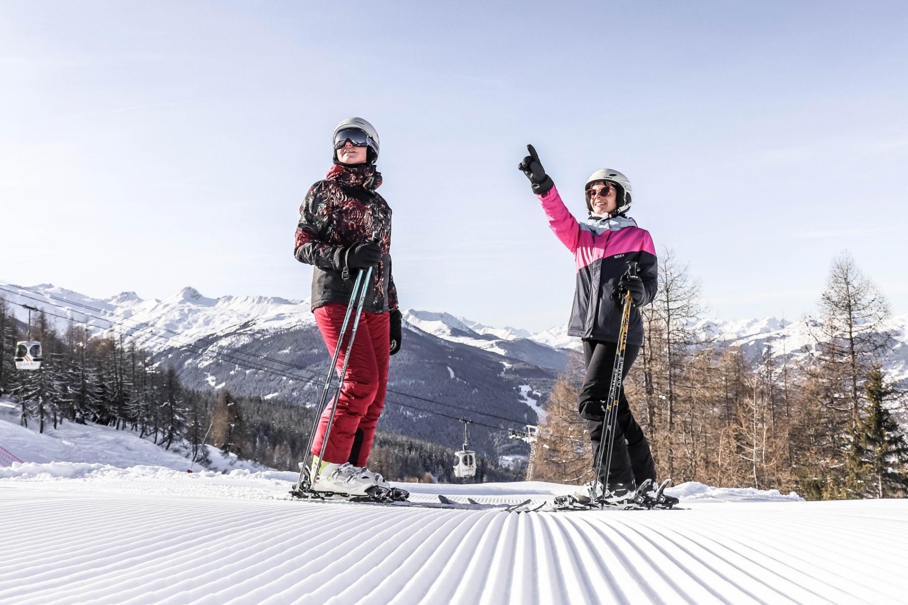
Photo: Tim Arnold / Unsplash
How to read snow forecast?
The snow forecast consists of several important parameters, which is not hard to read:
- Weather conditions: sunny, blizzard, white out, flat light, cloudy, changeable conditions — all these can occur in the mountains. Depending on weather conditions, your experience will be different, more or less satisfying.
- Air temperature, degrees. The temperature of the air on the particular slope on a particular day.
- Clouds. The intensity of clouds in a particular area.
- Snow depth, inches/cm. The depth of the new and old snow remaining on the ground at observation time. Top snow depth is measured on the top, bottom snow depth — at the bottom of the slope.
- Fresh snowfall depth, inches/cm. The snowfall since the previous snowfall observation (usually 24 hours).
- Last snowfall, date. The date of the last snowfall (or how many hours ago it occurred).
- Freezing level, meters. An altitude in the mountains at which the temperature drops below zero and the snow stops melting.
- Wind, m/s. The velocity of moving air.
- Ski resort altitude, feet/meters. An altitude of the chosen ski resort, its top station and bottom station.
It is better to keep in mind all of it in order to choose the best slope and time for snowboarding or skiing. But the success of your skiing and snowboarding experience mostly depends on the snow, but also on other weather conditions. Let’s learn more about it:
Good and bad types of snow for skiing and snowboarding
In the mountains, the weather can change quickly and easily, and not any snow is good for skiing and snowboarding.
- If it is freezing and has not snowed for a while, the pistes start to get icy. Keep in mind that in this case, you’ll probably have less control.
- If it has snowed recently, the snow will be soft. It means that it can be moved around a lot, and pistes can become lumpy very quickly.
- If the snow melts during the day and then refreezes at night, the snowflakes lose their structure, the pistes become slushy and contain lots of little lumps of ice, so you can easily get ice burns on bare skin. Also, slushy snow is heavy, and it can be hard to turn and move around.
- It it is the wet snow, it creates a vacuum under the ski, as a result, you can not slide easily. Skiing in these conditions can be quite disappointing.
Good and bad weather for skiing and snowboarding
Sunny weather is the best for skiing and snowboarding as you can see the slope very clearly, notice the bumps and changes in gradient as well as enjoy the beauty of the landscape.
But, we will repeat, that the weather in the mountains is quite capricious. That’s why you should keep the following in mind:
- Blizzard. The most dangerous condition on a mountain. Not only because you can not see very well, but also because moisture in the air makes you lose heat quickly.
- White out. You won’t be able to see more than a few meters away and can easily lose the piste.
- Flat light. It also makes it harder to see bumps in the snow, that’s why it is better to stay below the tree line in these weather conditions as trees give more definition to the snow.
Don’t forget to use some sun protection, otherwise, you can easily get a sunburn.
Finally, and the most important: because of the changeable weather in the mountains, you can have both the sun and blizzard within a couple of hours. That’s why it’s better to always have some extra equipment and a weather forecast app with you.

How to read a snow forecast. Valerya Milovanova / Windy.app
Where to get a snow forecast?
There is a whole Snow Weather Profile in the Windy.app, where you can get a preset of 10+ weather parameters, indexes, data, and charts created especially for winter sports like snowshoeing, skiing, snowboarding, ice fishing and other. In particular, in the profile you can get:
- General weather condition
- Air temperature at the top and bottom stations of a ski resort, as well as in the middle
- Cloud coverage
- Rain ans snow chart
- Fresh snow for the same altitudes as written above
- Snow depth
- Last snowfall date
- Freezing level chart
- Wind speed, direction and gusts

Snow Weather Profile in the Windy.app for iOS

Weather elements of the Snow Weather Profile in the Windy.app for iOS
To set up Snow Weather Profile:
1. Go to your favorite or the nearest spot in the app.
2. Open Snow Weather Profile by an icon right to weather forecast modes.
3. Get weather forecast for the next 10 days.
The precipitation and wind forecast for the ski resort and the region in which it is located can also be viewed visually on the Weather Map. To do this, click on the map icon at the top of the screen in the widget and select the Precipitation layer on it.

Precipitation Map of the Dolomites in the Windy.app for iOS
However, in addition to the snow forecast, we also recommend checking the real-time weather from the nearest weather station as well as weather history.
Weather stations for ski resorts
In the Windy.app you can find weather stations right on the spot screen. It includes information about air temperature and wind. You can also get the forecast for the station as a spot. To do so, click on the "Get the forecast" icon. More: you can compare wind data from the weather station with the forecast. Click on the "Detailed analysis" icon and check the whine line in the comparison chart in the forecast table.

Weather station in the Trentino-Alto Adige region of Italy in the Windy.app for iOS
Snow history for ski resorts
Another useful thing in the Windy.app is weather history for ski resort with precipitation data on the particular day a year ago, several years ago, a decade ago as well as the average values for months and years.. This information will help you predict the snow on the day you need it. Again, there is no guarantee that if there was snow in this area on this day every year during the last 10 years, it will be the same this time, but it increases the chances a little bit.
In some other resources you can also find information about the snowfall in particular, including the snowiest week of the year at the ski resort, the number of snowy days in a week, the average snow on this day based on weather data for the last years, and other historical data.

Precipitation history in the Windy.app for iOS
This post was originally published on the Windy.app blog at Jan. 27, 2021.
Text: Irina Artemova, an author from Bali, Indonesia. Her favorite sports are surfing and yoga. Ivan Kuznetsov contributed to this text
Cover photo: Jack Atkinson / Unsplash
You will also find useful
Mini guide to snow sports with Windy.app
What is freezing level chart in your weather forecast? Yes, it is about snow but not only
Snow and ice pellets — the other types of frozen precipitation
The cold breath of global warming: how winter frost is connected to the warm Arctic
Latest News
Professional Weather App
Get a detailed online 10 day weather forecast, live worldwide wind map and local weather reports from the most accurate weather models.
Compare spot conditions, ask locals in the app chat, discover meteo lessons, and share your experience in our Windy.app Community.
Be sure with Windy.app.


