Big Bend National Park: Wetterstatistik und Windgeschichte
Weather forecast
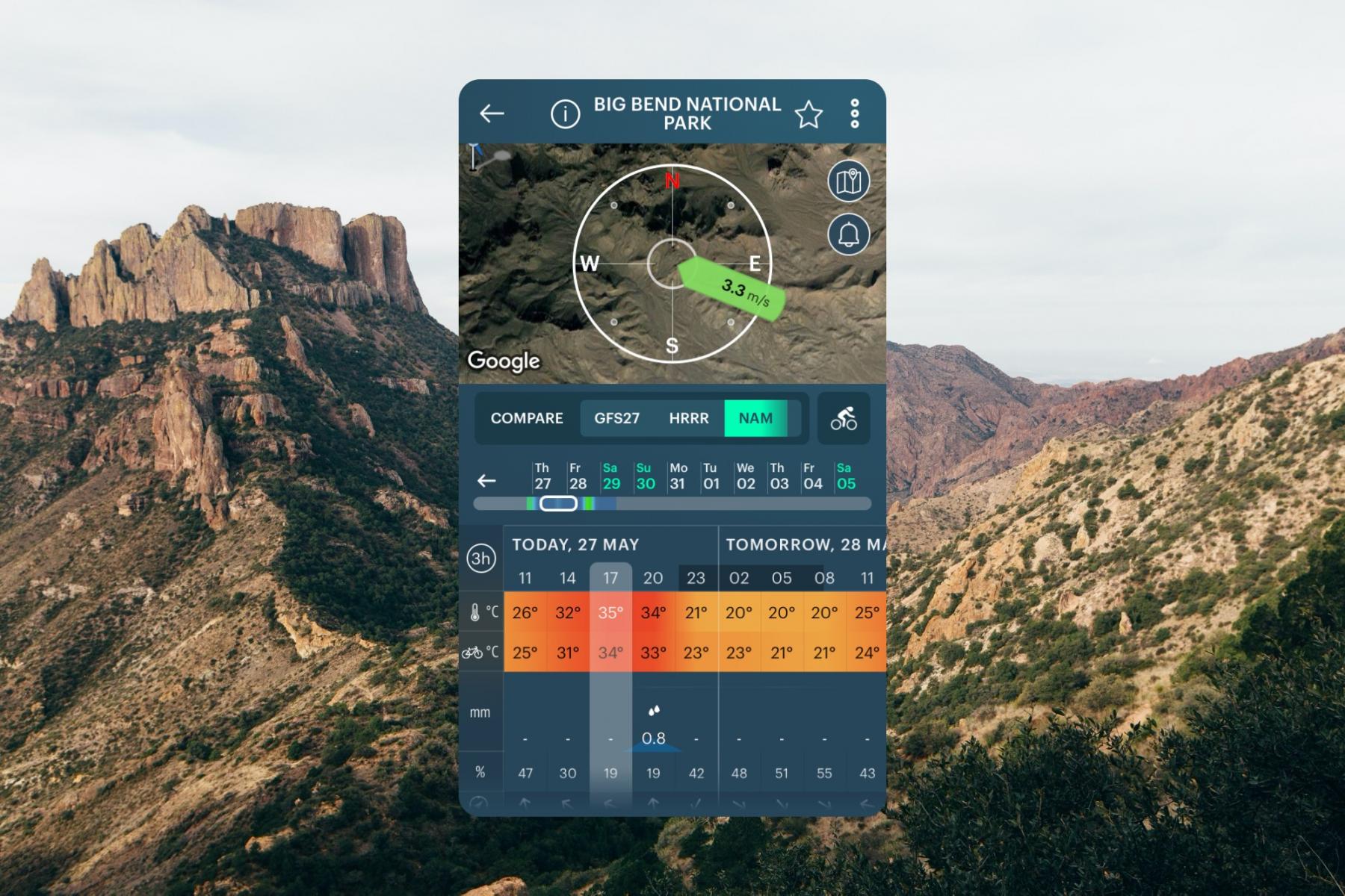
10 days weather forecast for Big Bend National Park, United States on this page contains information about local wind speed, direction, and gusts, temperature, cloud coverage and precipitation based on the global GFS weather model. All data updates four times a day with a forecast step of 3 hours. There is also a real-time wind forecast for Big Bend National Park from the nearest weather station to the spot, and a live Wind Map of the region and the world.
Get the weather forecast for all 63 US national parks on this website and in the Windy.app with more weather for hiking in the US, and other sports.
Spot overview and travel information
Big Bend National Park is one of the major national parks in the southern United States, located in Texas right on the border with Mexico. The main feature of the park is its natural landscape, which includes the Rio Grande River, 3060 km long, which forms a huge canyon; Mount Emory, 2385 meters high in the Chisos Mountains range and the numerous cactus growing in the rocky soil in the Chihuahuan Desert ecoregion, a part of which the park exists.
- Area: 3.242.19 sq. km
- Founded: June 12, 1944
- Visitors: 463,832 (2019)

Big Bend National Park weather forecast in the Windy.app for iOS. Background photo: Adan-guerrero / Unsplash
Nearby spots
No nearby spots found.
United States top spots
-
Kanaha Beach Park (Kite Beach) (kitesurfing)
-
Hood River Event Site (Columbia River Gorge)
-
Banzai Pipeline (Ehukai)
-
Mavericks
-
Lower Trestles
-
Kite Point (Hatteras Island)
-
Crissy Field (East Beach)
-
Crandon Park
-
Plumb Beach (kitesurfing)
-
Kailua Beach (kitesurfing)
-
Huguenot Memorial Park
-
Miami Beach, La Gorce
We are sorry, but this model is available only in the App


Or if this model is important for you in the web - please let us know at [email protected]
