
NOAA Nautical Charts
Learn the seashore and seabed on the nautical charts of the National Oceanic and Atmospheric Administration to better plan your yachting itinerary.
Nautical charts — an essential navigational tool for sailors and marine fishermen
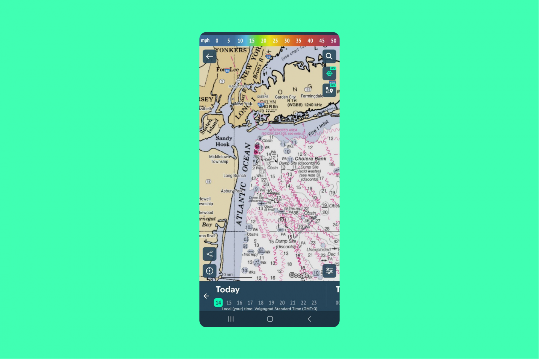
NOAA Nautical charts
Share:


Latest News
Professional Weather App
Windy.app is a professional weather app, created for water and wind sports and all outdoor activities.
Get a detailed online 10 day weather forecast, live worldwide wind map and local weather reports from the most accurate weather models.
Compare spot conditions, ask locals in the app chat, discover meteo lessons, and share your experience in our Windy.app Community.
Be sure with Windy.app.
Get a detailed online 10 day weather forecast, live worldwide wind map and local weather reports from the most accurate weather models.
Compare spot conditions, ask locals in the app chat, discover meteo lessons, and share your experience in our Windy.app Community.
Be sure with Windy.app.


