Acadia National Park, prévisions météo et carte du vent en direct
Carte du vent en direct
Acadia National Park prévisions météo et carte du vent en direct
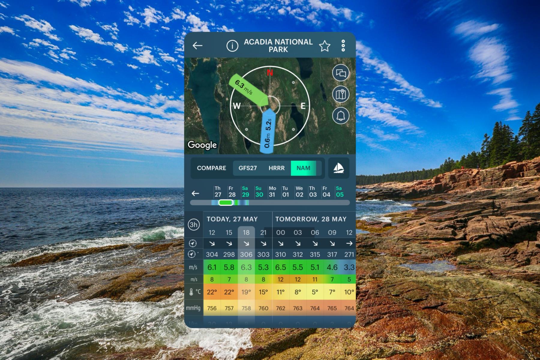
- Prévision météorologique du vent et des vagues pour Acadia National Park , United States contient des informations détaillées sur la vitesse, la direction et les rafales locales du vent. La prévision des vagues comprend la hauteur et la période des vagues. Windy.app fournit également des prévisions météorologiques générales : température, pression atmosphérique, couverture nuageuse, précipitations et marées
- Ces prévisions pour Acadia National Park sont basés sur le modèle GFS et ont été créés pour la planche à voile, le kitesurf, la voile et d'autres activités sportives extrêmes. Toutes les données sont mises à jour 4 fois par jour. Les prédictions sont disponibles par étapes de 1 à 3 heures pour un maximum de 10 jours


Weather forecast
10 day weather forecast for Acadia National Park, United States on this page contains information about local wind speed, direction, and gusts, temperature, cloud coverage and precipitation based on the global GFS weather model. All data updates four times a day with a forecast step of 3 hours. There is also a real-time wind forecast for Acadia National Park from the nearest weather station to the spot, and a live Wind Map of the region and the world.
Get the weather forecast for all 63 US national parks on this website and in the Windy.app with more weather for hiking in the US, and other sports.
Spot overview and travel information
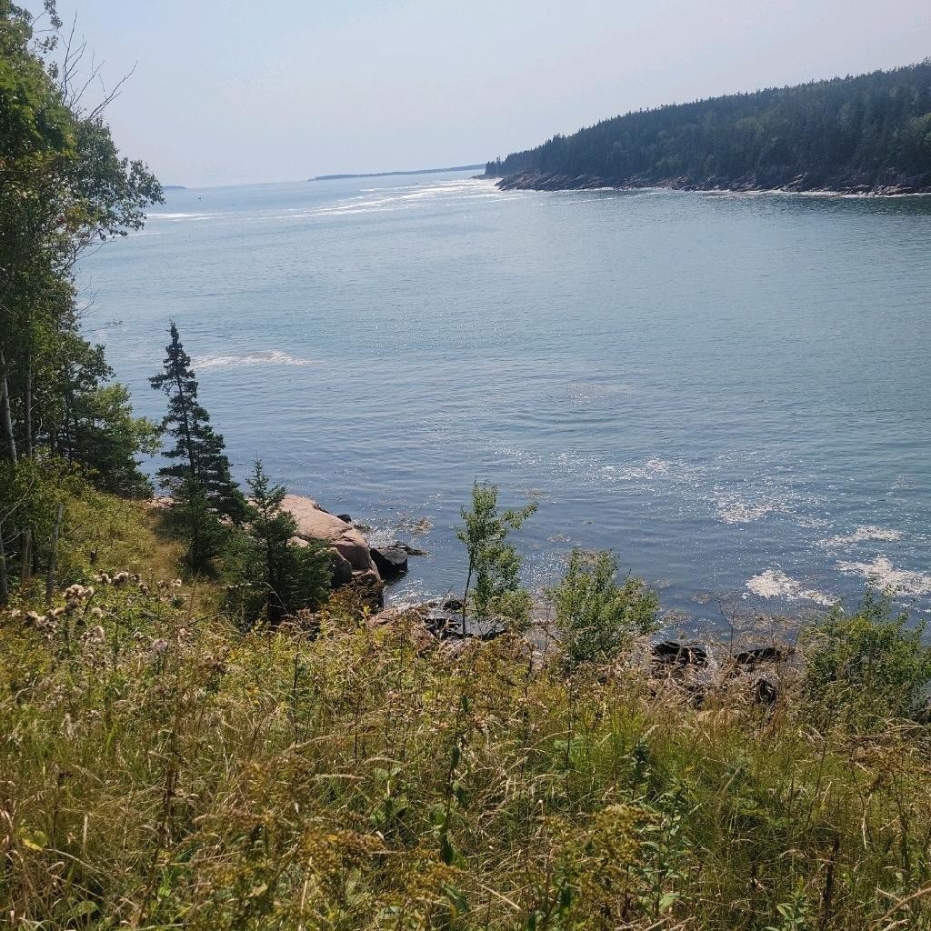
Acadia National Park is one of the 10 most visited in the country and the only one in New England, located in Maine. The park's main feature is the landscape of Mount Desert Island and about 20 other smaller islands in the Atlantic Ocean, including the park's namesake peak, forests, lakes, and other wonders. At the southern tip of the island, the famous Bass Harbor Head Lighthouse is perched on the cliffs.
- Area: 198.60 sq. km
- Founded: July 8, 1916
- Visitors: 2,669,034 (2020)

Acadia National Park weather forecast in the Windy.app for iOS. Background photo: Mick-haupt / Unsplash
Nearby spots
United States top spots
-
Kanaha Beach Park (Kite Beach) (kitesurfing)
-
Hood River Event Site (Columbia River Gorge)
-
Banzai Pipeline (Ehukai)
-
Mavericks
-
Lower Trestles
-
Kite Point (Hatteras Island)
-
Crissy Field (East Beach)
-
Crandon Park
-
Plumb Beach (kitesurfing)
-
Kailua Beach (kitesurfing)
-
Huguenot Memorial Park
-
Miami Beach, La Gorce
We are sorry, but this model is available only in the App


Or if this model is important for you in the web - please let us know at [email protected]


