09.05.2026 (Saturday)
- Moderate wind forecast (7.1 m/s)
- Gusts expected – use caution (9.3 m/s)
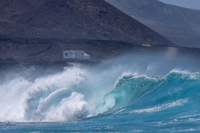
- Strong rocking – dangerous for small boats (2.1 m)
10.05.2026 (Sunday)
- Significant waves forecast (2.0 m)
11.05.2026 (Monday)
- Low fish activity: 45%
- Significant waves forecast (1.9 m)
12.05.2026 (Tuesday)
- Low fish activity: 37%
- Significant waves forecast (1.9 m)
13.05.2026 (Wednesday)
- Low fish activity: 63%
- Moderate wind forecast (8.3 m/s)
- Gusts expected – use caution (9.3 m/s)
- Significant waves forecast (1.8 m)
14.05.2026 (Thursday)
- Moderate wind forecast (9.7 m/s)
- Gusts expected – use caution (10.2 m/s)
- Significant waves forecast (1.4 m)
New Feature!
We just added Weather Alerts. How was your experience?