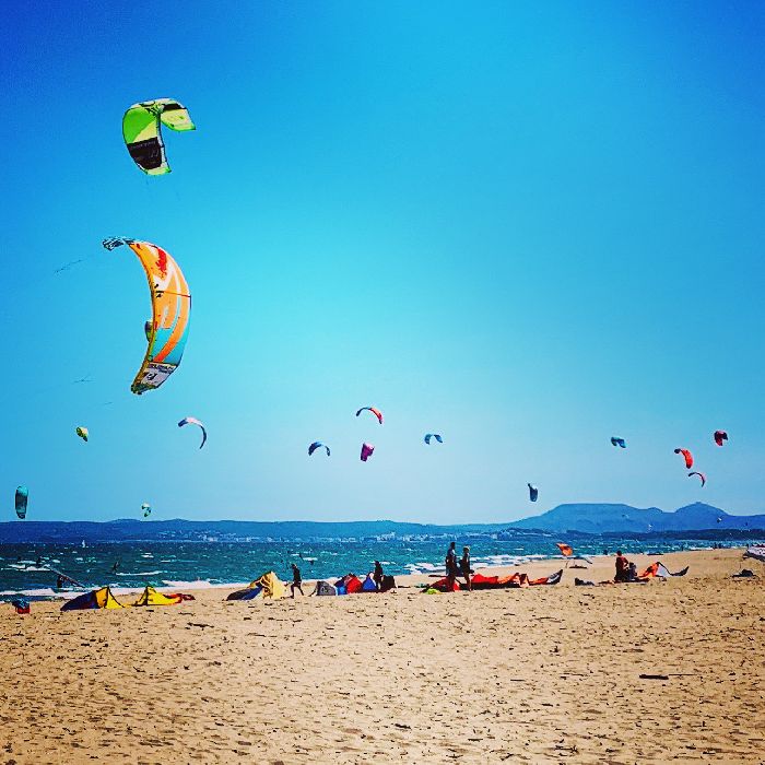
23.07.2026 (Thursday)
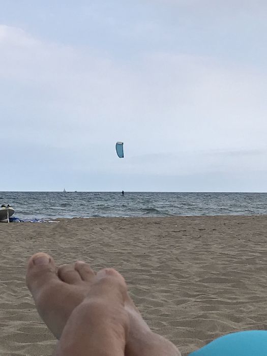
- Good kite forecast: wind 4.9 m/s, gusts 6.6 m/s
- 💨 Moderate breeze chance — 56% probability
- Light wind – experience required (4.9 m/s)
- Significant gusts forecast (6.6 m/s)
- Caution – short wave period (3.9 s)
- High water temperature (25.8°C)
24.07.2026 (Friday)
- Good kite forecast: wind 5.0 m/s, gusts 5.5 m/s
- 💨 Moderate breeze chance — 51% probability
- Light wind – experience required (5.0 m/s)
- Significant gusts forecast (5.5 m/s)
- Caution – short wave period (3.4 s)
- High water temperature (25.8°C)
25.07.2026 (Saturday)
- Good kite forecast: wind 7.0 m/s, gusts 7.7 m/s
- 💨 Low breeze chance — 48% probability
- Significant gusts forecast (7.7 m/s)
- Caution – short wave period (3.5 s)
- High water temperature (25.5°C)
26.07.2026 (Sunday)
- Good kite forecast: wind 9.4 m/s, gusts 12.8 m/s
- 💨 Unlikely breeze — 13% probability
- Strong wind – experience required (9.4 m/s)
- Significant gusts forecast (12.8 m/s)
- Caution – short wave period (4.6 s)
- High water temperature (25.4°C)
27.07.2026 (Monday)
- Good kite forecast: wind 7.5 m/s, gusts 12.9 m/s
- 💨 Low breeze chance — 29% probability
- Significant gusts forecast (12.9 m/s)
- Caution – short wave period (4.0 s)
- High water temperature (25.4°C)
28.07.2026 (Tuesday)
- Good kite forecast: wind 4.8 m/s, gusts 6.2 m/s
- 💨 Moderate breeze chance — 60% probability
- Light wind – experience required (4.8 m/s)
- Significant gusts forecast (6.2 m/s)
- Caution – short wave period (3.6 s)
- High water temperature (25.6°C)