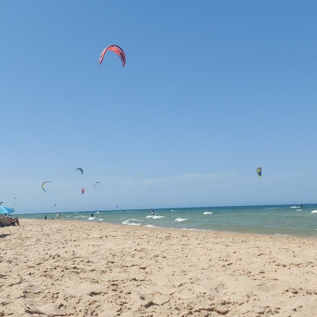
03.08.2026 (Monday)
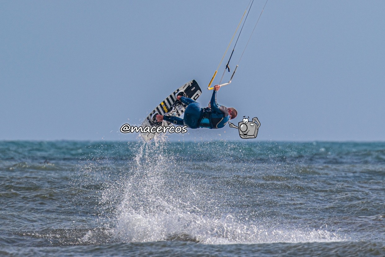
- Good kite forecast: wind 5.9 m/s, gusts 6.0 m/s
- 💨 Low breeze chance — 42% probability
- Light wind – experience required (5.9 m/s)
- Significant gusts forecast (6.0 m/s)
- Caution – short wave period (3.0 s)
- High water temp – risk of overheating (29.6°C)
04.08.2026 (Tuesday)
- Good kite forecast: wind 6.6 m/s, gusts 5.5 m/s
- 💨 Moderate breeze chance — 57% probability
- Significant gusts forecast (5.5 m/s)
- Caution – short wave period (3.1 s)
- High water temp – risk of overheating (29.6°C)
05.08.2026 (Wednesday)
- Good kite forecast: wind 6.0 m/s, gusts 5.9 m/s
- 💨 Moderate breeze chance — 65% probability
- Significant gusts forecast (5.9 m/s)
- Caution – short wave period (3.0 s)
- High water temp – risk of overheating (29.9°C)
06.08.2026 (Thursday)
- Good kite forecast: wind 5.6 m/s, gusts 5.3 m/s
- 💨 Moderate breeze chance — 74% probability
- Light wind – experience required (5.6 m/s)
- Significant gusts forecast (5.3 m/s)
- Caution – short wave period (3.0 s)
- High water temp – risk of overheating (30.1°C)
07.08.2026 (Friday)
- Good kite forecast: wind 5.9 m/s, gusts 4.7 m/s
- 💨 High breeze chance — 84% probability
- Light wind – experience required (5.9 m/s)
- Significant gusts forecast (4.7 m/s)
- Caution – short wave period (4.4 s)
- High water temp – risk of overheating (30.1°C)
08.08.2026 (Saturday)
- Good kite forecast: wind 6.3 m/s, gusts 5.9 m/s
- 💨 Moderate breeze chance — 50% probability
- Significant gusts forecast (5.9 m/s)
- Caution – short wave period (4.4 s)
- High water temp – risk of overheating (30.3°C)