Where does your forecast come from? A list of all the major weather models
Weather is an extremely complicated phenomenon made up of hundreds of different factors and variables, and simply tracking it can be a rather daunting task. Making a correct forecast is a totally different beast.
These days, weather forecasts are made by supercomputers solving insanely difficult and complex mathematical equations. Those equations can be drastically different depending on the region, its terrain, its man-made objects and many other inputs.
Moreover, forecasting requires a vast array of meteorological data, collected by satellites, observation systems, automatic and manned stations, aircraft, ships, weather balloons and so on. That is why there are dozens of weather models currently in existence, each tailored for a specific task.
There are two main types of forecast models: global and local or regional ones. Both types of models also vary in their resolutions, which is the distance between two grid points. For example, bigger resolutions of 50 to 10 km in size are usually deployed in relatively flat terrains, while mountain ranges require the nodes to be a lot closer to each other, usually 5, 2 or 1 km.
The name of a weather model is usually an abbreviation consisting of three or more words, in which its origin (organization, country...) as well as its main features are encoded. So, let's understand what are the major weather models in the world in this big list.
Global weather models

NASA / Unsplash
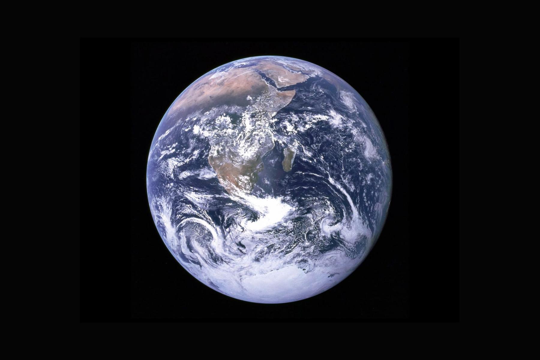
Their main feature and advantage of global weather models is that, as the name implies, they cover the whole world. That is, no matter where you are — even in small islands in Oceania — you can get a weather forecast from one of them.
But in general global weather models can lose out to individual local models in the quality of the forecast or its details. This is easily explained by the fact that weather in general is difficult to predict and, therefore, the larger the area to be covered, the more difficult it is. And vice versa. However, the prediction of all local models begins with a global prediction.
There are fewer global models than regional ones. The three main global models are GFS, from the United States, and ECMWF and ICON, from Europe. But there are others.
ECMWF weather model (European Centre for Medium-Range Weather Forecasts)
- Resolution: various (14 km in Windy.app)
- Forecast depth: 10 days
- Step: 3 hours
- Updates frequency: 2 times/day
The ECMWF is a European global forecast seamless model and it is widely regarded as the best and most reliable model currently in existence. It uses a concept called 4D, which is an assimilation that allows the model to be constantly updated as new satellite or other input data becomes available. It is a well-known fact that the ECMWF was the only model that accurately predicted where Hurricane Sandy was moving.
GFS weather model (Global Forecast System)
- Resolution: 27 km
- Forecast depth: 10 days
- Step: 1 hour
- Updates frequency: 4 times/day
The GFS is the most well-known global weather model and it’s updated every six hours by the American meteorological service. It is actually made up of 4 separate models which work together to paint an accurate picture of weather conditions: atmospheric, ocean, land/soil and sea ice models. However, it doesn’t take topography and shapes of coastlines into account, so it isn’t very accurate for places next to bodies of water. Good for oceans.
The GFS+ is another version of the same model. While the standard GFS27 interpolates data for each point of the 27 km x 27 km square, the GFS+ version always shows the maximum value in each square.
ICON weather model (Icosahedral Nonhydrostatic)
- Resolution: various (Europe 7km, ICON7), (global 13km, ICON13)
- Forecast depth: 5,1 day
- Step: 1 hour
- Updates frequency: 4 times/day
Created by the German Meteorological Service (Deutscher Wetterdienst), the ICON is generally considered to be even more accurate than the ECMWF due to the better resolution, albeit only in Europe. The most important variables of the ICON are considered to be air density and virtual potential temperature, horizontal and vertical wind speed, humidity, cloud water, cloud ice, rain and snow. Its small-scale part includes the COSMO model, which will be fully integrated into the ICON by 2020.
UM weather model (Unifef Model)
- Resolution: 1.5 km (UK), 10 km (Global)
- Forecast depth: 3 days
- Step: 3 hours
- Updates frequency: 2 times/day
The UM (Unified Model), also often referred to as the UKMO, is a global model developed in the UK. This model runs every 12 hours, with its output running out to 3 days. Due to its resolution, the UKMET is the most reliable model for the United Kingdom. The global model is considered reliable, and is a base for some regional small-scale models (e.g. New Zealand).
CFS weather model (Climate Forecast System)
- Resolution: 108 km
- Forecast depth: 30 days
- Step: 6 hours
- Updates frequency: 4 times/day
The CFS is a global numerical model. It is produced by the US NOAA NCEP (National Centers for Environmental Prediction). The model is based on 11 years of weather observations. On each calendar date, the straight average value, determined from the available 11 values, is in general composed of the following components: the true climatological annual cycle, meteorological noise, climatological noise, model noise. The model forecast period is 9 months. It may have poor prediction value, but looks useful for long-term planning.
Local or regional weather models

NASA / Unsplash
Their main feature and advantage of local or regional weather models is that, as the name implies, they cover smaller specific areas or parts of the planet, such as continents, countries, mountain ranges and so on, and give specific and in general more accurate or detaled weather forecast compared to global models, which tend to be less accurate in certain areas.
For example, if you need a forecast specifically for the Mediterranean Sea sailing voyage, it's better to look at it with one of the local models for the area. (Although that doesn't mean the global forecast will always and necessarily be worse).
There are many more regional weather models than there are global ones. The three main regional models are NAM and HRRR for the Unites States, and, let's say, Open WRF and Open Skiron for Europe. But there are others.
WRF weather model (Weather Research and Forecasting)
- Resolution: down to 500 m (8 km in Windy.app)
- Forecast depth: 3 days
- Step: 3 hours
- Updates frequency: once a day
The WRF was a result of a collaborative effort of several agencies and laboratories across the globe in the 1980s. It is a codebase for further forecast model processing. It is applicable globally and can take local geography and topography into account. It has a wide range of different physical parameters and demands vast resources to process. Many institutes use the WRF as a base to develop their own regional models.
NAM weather model (North American Mesoscale)
- Resolution: 12 km
- Forecast depth: 61 hours
- Step: 1 hour
- Updates frequency: twice a day
The NAM is a regional model for North America produced by the American Weather Service. It has a much better resolution than global models such as the GFS and takes small-scale weather phenomena into account, which makes it the most effective model in that region.
OS weather model (Open Skiron)
- Resolution: 12 km
- Forecast depth: 5 days
- Step: 3 hours
- Updates frequency: once a day
A regional high-resolution weather model developed by the University of Athens on the base of the WRF. It is generally regarded as one of the most reliable models for the Mediterranean.
HRRR weather model (High Resolution Rapid Refresh)
- Resolution: 3 km
- Forecast depth: 1.5 days
- Step: 1 hour
- Updates frequency: 24 times/day
The HRRR is a real-time regional (USA) atmospheric model that is updated every hour and has been running since April 2017. It is a cloud-resolving, convection-allowing atmospheric model, initialized by 3km grids with a 3km radar assimilation.
ALADIN weather model (Aire Limitée Adaptation dynamique Développement InterNational)
- Resolution: various
The ALADIN is a consortium sponsored by Météo-France with some countries of Central and Eastern Europe. In 2015, the consortium initiated a partnership with the HIRLAM, with a goal of an integrated management of the two models. Besides the so-called ALADIN model, it has developed the global ARPEGE (55 km grid) and the regional AROME (1.25 km) for France and domains. These two are considered as good ‘chemical’ models, as they take into account chemical additives. The AROME has a very good resolution, thus taking into account many weather parameters, which makes it reliable in Europe.
GEM weather model (Global Environmental Multiscale Model)
- Resolution: 2.5 km (Canada), 25 km (Global)
In North America, this model is often referred to as the CMC (Canadian Meteorological Centre) model. Due to it’s resolution and specialisation, it is the most accurate model for forecasts in Canada.
HIRLAM weather model (High Resolution Limited Area Model)
- Resolution: 2.5 km
The regional model covers Northern Europe. This model is a result of cooperation between 10 European meteorological institutes, created with a goal of setting up a numerical short-range weather forecasting system to be operated by all the participating institutes. But originally it is run by the Royal Netherlands Meteorological Institute (KNMI) which is the Dutch national weather service.
ACСESS-G weather model (Australian Community Climate and Earth-System Simulator)
- Resolution: 25 km
This global model was developed and tested by the Australian Government’s Bureau of Meteorology based on the UK Met Office’s Unified Model, which is a weather prediction and climate modelling software developed by the Met Office and used by many forecasting agencies around the world.
RTOFS weather model (Atlantic operational Real Time Ocean Forecasting System)
- Resolution: 9 km
The RTOFS is a forecasting model of the Atlantic ocean currents run by the US National Weather Service.
COAMPS weather model (Coupled Ocean Atmosphere Mesoscale Prediction System)
- Resolution: 12 km
This regional weather model covers certain regions bordering the United States and it is run by the American Navy.
This is an updated version of a post, which was originally published on the Windy.app blog on June 24, 2019.
Text: Windy.app
Cover photo: Dino Reichmuth / Unsplash
You will also find useful
The collection of articles about weather models
Latest News
Professional Weather App
Get a detailed online 10 day weather forecast, live worldwide wind map and local weather reports from the most accurate weather models.
Compare spot conditions, ask locals in the app chat, discover meteo lessons, and share your experience in our Windy.app Community.
Be sure with Windy.app.


