Where lightning comes from
Lightning is an electric spark discharge in the atmosphere that occurs during a thunderstorm, manifested by a bright flash of light and accompanying thunder. In this new lesson of the Windy.app Meteorological Textbook (WMT) and newsletter for better weather forecasting you will learn more about where lightning comes from.
Thundercloud formation
It all starts with the occurrence of cumulus clouds — we’ve already discussed them. These are the clouds that bring showers.
Let’s recall: air closer to the ground gets warmer and starts to rise because warm air is always lighter than cold one. Rising, the warm air gets cooler and condensation occurs → water drops form a cloud.
The warmer the air is, the higher it can rise. Thunderclouds grow vertically and reach high altitudes.

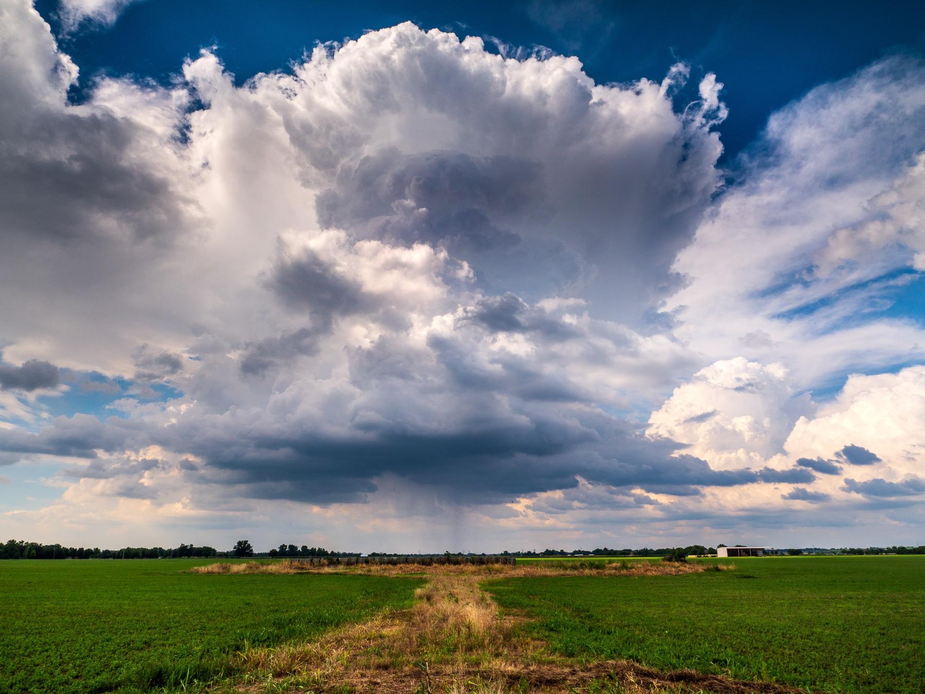
Cumulus Cloud. Raychel Sanner / Unsplash
It’s usually very cold at high altitudes — reaching them, the upper part of the cloud starts to “freeze up”. Eventually its top consists of ice crystals and snowflakes. But the heating up doesn’t stop in the lower part — currents of warm humid air rise from the ground.
Warm air inside the cloud rises too, leaving a void in its place, like a vacuum — and it increases the suction force — like inside a vacuum cleaner. New and warm air tends to replace the void over and over again.
This process turns the cloud into a “pump” which starts to inhaust the warm humid air under it with a greater force.
Here we only have to remember that a thundercloud involves very strong air currents.

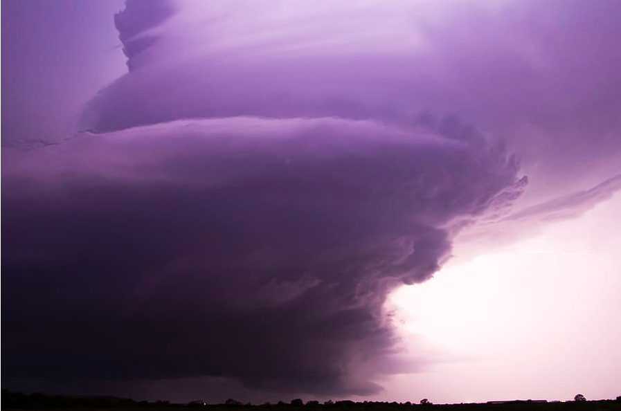
Thundercloud
What does it have to do with lightning?
First, let’s recall the positively and negatively charged particles (+ and -).
We and everything around us consists of tiny particles — atoms. We know that from school. Atoms consist of protons, neutrons and electrons. Now let’s just focus on electrons. Electric current is a movement of electrons.
- If an atom lacks electrons, it’s positively charged (+) and ready to receive electrons “upon itself”.
- If it has at least one extra electron, it’s negatively charged (-) and ready to start to give electrons “from itself”.
In a normal environment any object is neutral — with an equal number of positive and negative charges. That’s why you can, for instance, use a computer without getting an electric shock.
But sometimes I do!
A common example — it’s winter, heating is on, the air gets dry. Before, water in the air could give or receive extra charges, maintaining their balance. And now, when the air is dry, you transmit the charges. For example, walk barefoot on the carpet — giving it a part of the electrons. Now you are positively charged as you lack electrons. Once you touch a metallic object — there’s a spark (metal has lots of free electrons).
Where were we? The cloud?
As we’ve established, a thundercloud means powerful air currents. They knock together different particles — specks of dust or salt from the ocean. As it happens with the carpet — when they collide, the particles give their electrons to other particles.
Now those that lost their electrons are positively charged and those that took extra electrons — negatively charged.
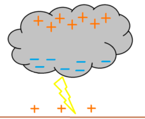
Electrons also have weight (albeit really small). The particle with more electrons is heavier. That’s why negative particles (with extra electrons) are heavier. They move down to the lower part of the cloud while the lighter ones stay at the top.
Meanwhile the area on the ground under the cloud is positively charged as it has sent its electrons to the cloud with the evaporated water.
It looks like this:

Electrons
Then, like when there’s a spark between you and a doorknob, there’s a similar spark between the cloud and earth, only a big and powerful one. That’s lightning.
Besides, it tries to find the closest grounded point. That’s why lightning strikes high trees, poles and buildings in the first place.
Text: Windy.app team
Cover photo: Unsplash
You will also find useful
What are local winds and how do they work
Latest News
Professional Weather App
Get a detailed online 10 day weather forecast, live worldwide wind map and local weather reports from the most accurate weather models.
Compare spot conditions, ask locals in the app chat, discover meteo lessons, and share your experience in our Windy.app Community.
Be sure with Windy.app.


