Shenandoah National Park: 날씨 통계 및 바람 역사
Shenandoah National Park 일기 예보 및 라이브 바람지도
- 바람 및 파도 날씨 예보는 Shenandoah National Park , United States 지역 풍속, 방향, 돌풍에 대한 자세한 정보를 알려드립니다. 파도 예보에는 파도 높이 및 주기가 포함됩니다. Windy.app은 또한 기온, 기압, 운량, 강수량 및 조류와 같은 일반적인 일기 예보를 제공합니다.
- 이 예보들은 Shenandoah National Park 은(는) GFS 모델 기반으로 하며 윈드서핑, 카이트서핑, 항해 및 기타 익스트림 스포츠 활동을 위해 만들어졌습니다. 모든 업데이트는 하루에 4번 이루어집니다. 예측은 최대 10일 동안 1 - 3시간 동안 사용할 수 있습니다.

Weather forecast
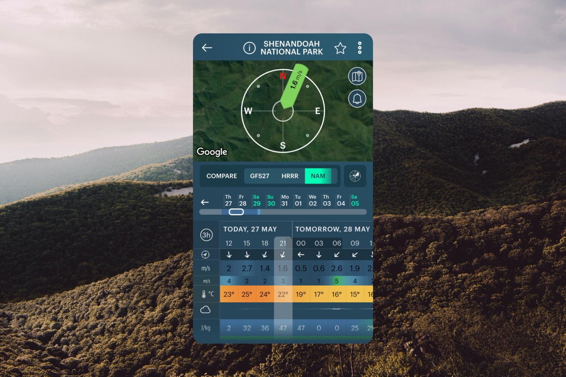
10 days weather forecast for Shenandoah National Park, United States on this page contains information about local wind speed, direction, and gusts, temperature, cloud coverage and precipitation based on the global GFS weather model. All data updates four times a day with a forecast step of 3 hours. There is also a real-time wind forecast for Shenandoah National Park from the nearest weather station to the spot, and a live Wind Map of the region and the world.
Get the weather forecast for all 63 US national parks on this website and in the Windy.app with more weather for hiking in the US, and other sports.
Spot overview and travel information
Shenandoah National Park is one of the major national parks on the East Coast of the US, which is located in the Blue Ridge Mountains in the Appalachian Mountains in Virginia, where the river of the same name also flows. The main feature of the park, besides the wilderness (40 percent of the area) is the 105-mile (169 km) Skyline Drive along the park's entire length. There are dozens of viewpoints on both sides of the ridge, hiking trails also start from here.
- Area: 806.02 sq. km
- Founded: December 26, 1935
- Visitors: 1,666,265 (2020)

Shenandoah National Park weather forecast in the Windy.app for iOS. Background photo: Andrew-neel / Unsplash
Nearby spots
United States top spots
-
Kanaha Beach Park (Kite Beach) (kitesurfing)

-
Hood River Event Site (Columbia River Gorge)

-
Banzai Pipeline (Ehukai)

-
Mavericks

-
Lower Trestles

-
Kite Point (Hatteras Island)

-
Crissy Field (East Beach)

-
Crandon Park

-
Plumb Beach (kitesurfing)

-
Kailua Beach (kitesurfing)

-
Huguenot Memorial Park

-
Miami Beach, La Gorce

We are sorry, but this model is available only in the App


Or if this model is important for you in the web - please let us know at [email protected]

