
What are weather stations and why do you need it for weather forecasting
Weather stations are the closest source of information about the weather in real-time to you. When forecasting the weather, they should be used together with different weather models. Learn all you need to know about meteorological stations in this article.
Weather stations definition
The weather stations or meteorological stations are facilities for weather observation and collecting different weather data together with satellites, weather buoys, meteorological probes, and radars. But the weather stations are the most — more than 40.000 official all over the world — so it is the main facility among others. They register data at a specific point on the map and send it to the big data processing centers.
Most often, stations are installed on the ground, but also at sea on a ships, or even at the aiplanes. Stations are also often installed at the airports, where it is important to constantly measure the weather.
At the station, where the observations are made by a person, the information is recorded at least once a day, at automatic stations — once per hour.
Weather stations are monitored by different government agencies of the countries where they are located. There is also the World Meteorological Organization (WMO) — a special United Nations agency, which makes sure that the number of stations does not decrease and the system of data collection works.
There are also global and regional weather stations networks analyzing different weather parameters. For example, Arizona Meteorological Network (AZMET) in the United States or the Bureau of Meteorology AWS Network in Australia.
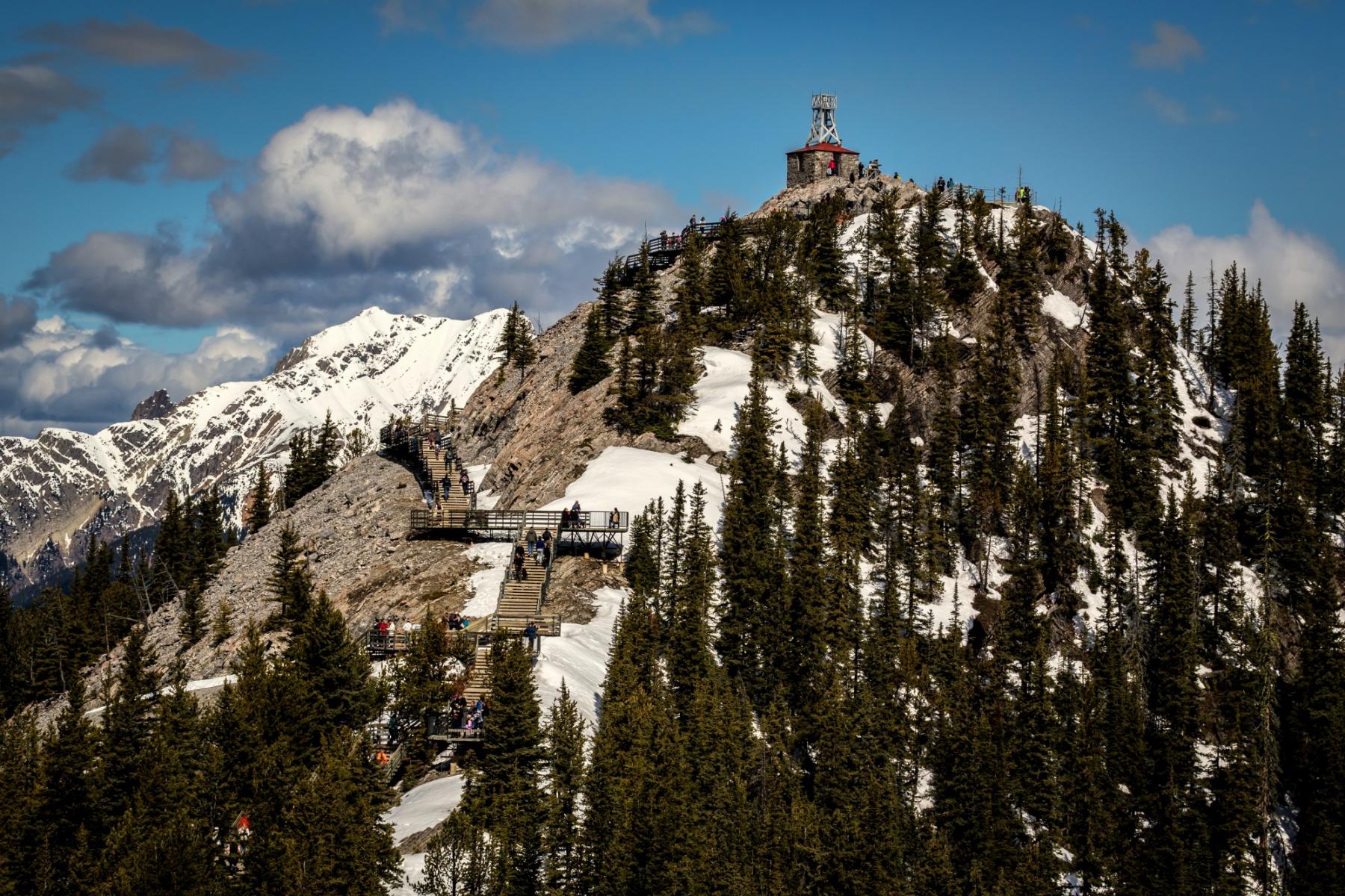
Photo: Weather station at the top of the Sulphur Mountain, Banff, Alberta, Canada / Dave Feaster
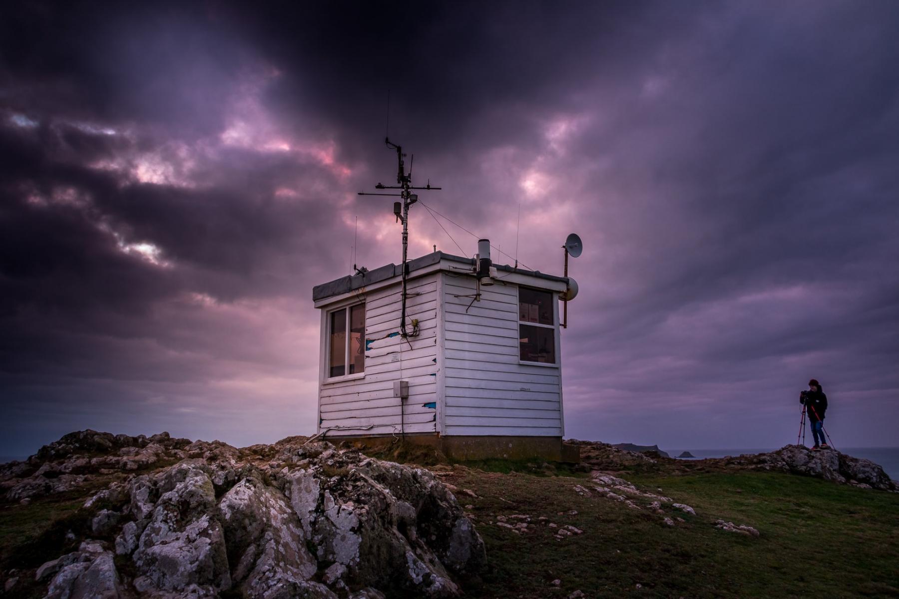
Photo: Weather station in the Deer Park / Gareth Thomas
.jpg)
Photo: Weather station on the Mount Vesuvius, Italy / Michal Osmenda, Wikipedia
How does weather station work
At “official” weather stations, the wind is measured at a height of 10–15 meters above sea level, i.e. we measure the wind speed not on the surface, but at some height. For this purpose, a mast is placed, on which, in turn, a station is installed.
You are well aware that at the top of the mast the station may show you a completely different wind than it is now at your ground level or water level. But traditionally weather stations measure exactly at this altitude, and the forecast is also given for an altitude of 10 meters, which is also important to understand.
First of all, it collects the most important data: temperature, atmospheric pressure, humidity, wind speed and wind direction, precipitation amounts...
Then, marine stations also measure sea surface temperature, wave height and period, and other sea data.
More equipped stations measure ultraviolet index, leaf wetness, soil moisture and temperature, water temperature in different natural water reservoirs such as lakes and rivers.
Meteostations are very different. They can be big and small, more or less complex, analog, and digital...
A classic analog professional weather station consists of the following basic weather instruments:
- thermometer (air and sea temperatures),
- barometer (atmospheric pressure),
- hygrometer (humidity),
- pyranometer (solar radiation),
- rain gauge (liquid precipitation),
- sunshine recorder (amount of sunshine at some location or region).
The wind speed and direction are measured by an anemometer.
Stations at the airports may have Precipitation Identification Sensor (falling precipitation), disdrometer (drop size distribution), transmissometer (visibility), ceilometer (cloud ceiling), and other instruments.
Update time: official — every 3 hours, unofficial — depending on the station. There are automatic weather stations that work once every 5 minutes, once every minute, once every 30 seconds, and it can break down and not show anything for a long time.
The main types of weather stations
Weather stations are divided into “official” and “amateur” stations. “Official” are those that are part of the network of the World Meteorological Organization. And “amateur” are all the others.
The “official” ones operate according to standards. That means once every 3 hours — at 0, 3, 6 o’clock, etc. — the World Meteorological Data Bank will send us some parameters measured by certain standards. We know what to expect from them. From “amateur” we don’t know. We don’t know how or where they are set, whether they have been tested, etc. It’s important to distinguish one from the other, to begin with. But amateur stations are also very useful. They are also called personal or home stations.
A personal weather station is a station, which you can install at your home. Yes, you can collect the weather data around you and get the weather forecast.
It consists of two main parts: an instrument (sensor) for collecting data, which you can put in your garden or yard, and a display inside your home, so you can know the outdoor conditions without going out.
The wireless weather stations or wifi weather stations don't use any wires, or even displays. You collect data right to your computer and use a special software program to read it.
Typically, such home weather stations collect the same basic weather data: indoor and outdoor temperature, wind speed and wind chill, air humidity, atmospheric pressure, and other — but in general the data is less compared to professional ones.
The home stations process the data and calculate a weather forecast for the next 12—24 hours. With some stations, you can get the weather forecast for 3—5 days using satellite signals (WeatherDirect technology). For example, stations like Aura, Galileo, Twister 300.
Some stations also allow you to contribute to global weather stations networks and exchange the data with other users on the Internet, or by a radio. Two great examples: Citizen Weather Observer Program (CWOP) and Weather Underground Personal Weather Stations.
Photo: metoffice.gov.uk
The difference between weather stations and weather models
As it just became clear, the weather station is the main source of weather data. You can also have short and mid-range periods forecast for your home territory from the stations.
Weather models do the same, but it is a bigger thing. It is a program that uses data from meteorological measurements as initial information about the state of the atmosphere around the world, and presents it as a ready-made weather forecast, via solving systems of hydrophysical equations. On a regional level or globally.
The task of weather forecast calculation for a bigger territory is so complicated that the most powerful supercomputers of the world are involved in it. In other words, the models work with a huge amount of data (Big data) and in large areas.
In addition, the model uses data not only from weather stations but also from other sources mentioned above.
Meteostations can be trusted and used as much as the weather models, but the meteostation gives you the information about the weather conditions from the closest source of its collection. So, if you a want to know real-time data near to you, check the station.
Windy.app not only shows you ready-to-use forecasts from dozens of global and local weather models but also constantly receives and displays the real-time data from tens of thousands of weather stations around the world: professional and home/personal stations.
Disadvantages of weather stations
Weather stations are of course affected by the surrounding buildings and topography. The vast majority of weather stations are located on land. So they give a slightly different wind on land than they do on the water simply because it is affected by all the surroundings. I think you've often felt this yourself, that the weather station and the wind, in general, is a little or a lot different on shore than when you go out.
How to find and read meteo stations data in Windy.app?
Weather stations in the app are the same spots like for surfing or fishing.
You can find the stations in several places, starting from the Home screen. There are three nearest stations to you (for this, turn on the geolocation function). So if you look for a "weather station near me", there are some for sure:

At weather stations in Windy.app you get information about real-time wind speed, direction, and gusts on your favorite or a nearest spot:

Read guide to the app. Follow us in a Facebook, Instagram, Twitter, LinkedIn, YouTube. Subscribe to our newsletter to get Windy.app Meteorological Textbook (WMT) with 50+ lessons on better weather forecasting and receive a new lessons right to your email once a week. Write your own post in the blog. Cooperate with the team, if you are a business or content creator.
Read more articles and posts in Windy.app Blog.
Text: Ivan Kuznetsov. Ilya Drigo contributed to this article
Cover photo: Weather station at the Glacier National Park in Montana's Rocky Mountains / U.S. National Park Service
You will also find useful
Guide to weather stations in Windy.app
How to read a surf forecast to get the best surfing experience
What is freezing level chart in your weather forecast? Yes, it is about snow but not only
Latest News
Professional Weather App
Get a detailed online 10 day weather forecast, live worldwide wind map and local weather reports from the most accurate weather models.
Compare spot conditions, ask locals in the app chat, discover meteo lessons, and share your experience in our Windy.app Community.
Be sure with Windy.app.


